
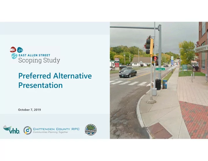
SLIDE 1
Preferred Alternative Presentation
October 7, 2019
Preferred Alternative Presentation October 7, 2019 Agenda Project - - PowerPoint PPT Presentation
Preferred Alternative Presentation October 7, 2019 Agenda Project Overview Project Purpose and Needs Review of Preferred Corridor Plan Elements Next Steps Project Team & Advisory Committee Jon Rauscher, Director of Public
October 7, 2019
John Audy, Winooski Fire Dept. Amy Bell, VTrans Ashley Bishop, VTrans Abby Bleything, Planning Commissioner Maya Boucher, Summit Management Nate Dagesse, Developer Tom Getz, Summit Management Rick Hebert, Winooski Police Dept. Devin Mason, GMT Taylor Sisson, VTrans Allegra Williams, Local Motion
Director of Public Works
Planning & Zoning Manager
City Engineer
Project Manager
Transportation Program Manager
Project Manager
Transportation Consultant
The need for this project is driven by deficiencies in the current transportation infrastructure and a need for comprehensive corridor planning. These needs are further articulated below: – Limited Pedestrian and Bicycle Accommodations: The corridor lacks pedestrian scale amenities such as trees and pedestrian scale lighting. Between 2012 and 2017, there were eight pedestrian crashes and five bicycle crashes. – Balance of Accommodations for All Modes: The roadway should be balanced to accommodate bicycles, pedestrians, on-street parking, transit, and vehicles. – Existing Safety Issues: There are three High Crash Location Intersections along the East Allen Street Corridor which experienced a total of 92 crashes between 2012 and 2016. – Limited Transit Accommodations: There are five bus stops serving three transit routes along this corridor that provide limited amenities for transit users. – Existing Operational Issues: Long queues are present at the Exit 15 interchange and Circulator entrance, especially during weekday peak hours, which can impact the efficacy of other intersections up and down stream along the corridor.
I-89 Interchange
Focus Area #2 E Spring St Intersection Focus Area #3 4-Lane Section Focus Area #1 Barlow St / Cascade Way Intersection Casavant Natural Area
Focus Area #1 Barlow St / Cascade Way Intersection
Limited Turning Movements Acceleration Lane Brick sidewalks & granite curb Trees & lights in sidewalk Decorative Lighting Crosswalk
East Allen Street and Barlow Street/Cascade Way
East Allen Street Cascade Way Barlow Street
Alternative 0 No Build Alternative 1 Merge Lane Removal & EB Bike Lane Alternative 2 Two-Way Stop-Controlled Intersection & Bike Lanes with Landscape Buffer Alternative 3 Two-Way Stop-Controlled Intersection & Bike Lanes with On-Street Parking
Cost Estimate
Design and Construction (Not Including ROW) $0 $35,000 $540,000 $200,000
Traffic Operations (2039 PM Peak)
Overall LOS / Delay (seconds) LOS A / 1.7 LOS A / 1.7 LOS A / 5.9 LOS A / 5.9
Safety
Bicycle Safety
No Change Improved Reduce conflict point with eastbound bike lane Slightly Improved Formal accommodations for all turning movements Slightly Improved Formal accommodations for all turning movements
Pedestrian Safety
No Change No Change Improved Stopped traffic on Cascade Way Improved Stopped traffic on Cascade Way
Vehicle Safety
No Change Improved Reduce conflict point with merging vehicles Slightly Improved Formal accommodations for all turning movements Slightly Improved Formal accommodations for all turning movements
Impacts
Utility Impacts
Minor Impacts Minor Impacts ROW Impacts
No Impacts No Impacts Constructability
Moderate Effort Moderate Effort
Purpose & Need
Satisfies Purpose and Need
Yes Yes
Casavant Natural Area
Inconspicuous Signage Vehicle Scale Lighting Limited Trailhead Accommodations Undefined Parking Area
Focus Area #2 East Spring St Intersection
East Allen Street and East Spring Street Intersection
Add Lane for Cars from East Spring Street 8’ Multi-Use Path Right-
Right-
Vehicle Scale Lighting 5’ Sidewalk / No Grass Belt Lane Shifts from Through to Right-Turn Only Lane At-Grade Railroad Crossing No Crosswalk Across East Allen St. Missing EB Left Turn Movement Long, Uncontrolled Pedestrian Crossing
Alternative 1 – Signalized Intersection
Proposed Signalized Intersection Proposed Signalized Intersection 5’ Bike Lane 5’ Bike Lane Eastbound Left Turn Lane Eastbound Left Turn Lane Parking for Casavant Natural Area Parking for Casavant Natural Area
Parking removed
Pedestrian- actuated crosswalks Pedestrian- actuated crosswalks
New At-Grade Railroad Crossing New At-Grade Railroad Crossing Signalized Intersection Signalized Intersection Potential On- Street Parking Potential On- Street Parking Hatched space to be striped, curbed,
Hatched space to be striped, curbed,
Shared use path Shared use path Cul-de-sac or maintain connection to E Allen St and/or E Spring St Cul-de-sac or maintain connection to E Allen St and/or E Spring St Relocated Driveway Entrance Relocated Driveway Entrance Realigned E Spring Street with bike lanes Realigned E Spring Street with bike lanes
Alternative 2 – Realigned East Spring Street
Alternative 0 No Build Alternative 1 Signalized Intersection Alternative 2 E Spring St Realignment
Cost Estimate
Design and Construction (Not Including ROW) $0 $1,100,000 $2,400,000
Traffic Operations (2039 PM Peak)
Overall LOS / Delay (seconds) LOS F / 77.5 LOS B / 16.5 LOS B / 16.5
Safety
Bicycle Safety
No Change Slightly Improved Bike Lanes provided westbound through signal Improved Bike Lanes provided westbound through signal
Pedestrian Safety
No Change Improved Signalized Crosswalk provided on 2 approaches Improved Signalized Crosswalk provided
Vehicle Safety
No Change Slightly Improved Phase Separated movements from E Spring St Improved Perpendicular Intersection and Phase Separated movements
Impacts
Utility Impacts
Moderate Impacts Railroad Impacts Minor Impacts Major Impacts ROW Impacts
Major Impacts Constructability
Major Effort
Purpose & Need
Satisfies Purpose and Need
Yes
Focus Area #3 4-Lane Section
Two 11’ Travel Lanes in Each Direction AADT: 19,100 Narrow (1’) Shoulders 8’ Multi-Use Path Right-
Right-
Vehicle Scale Lighting 5’ Sidewalk / 3-4’ Grass Belt Lane Shifts from Through to Right-Turn Only Lane
4-Lane Roadway Section
Alternative 0 No Build Alternative 1 Road Diet with No Curb Shift Alternative 2 Road Diet with Shifted Curbs
Cost Estimate
Design & Construction (Not Including ROW) $0 $130,000 $2,150,000
Safety
Bicycle Safety
No Change Improved Buffered Bike Lane provided in westbound direction Improved Separated bike facility/shared use path provided
Pedestrian Safety
No Change Slightly Improved Improved crosswalk visibility Improved Shorter, more visible crossings
Vehicle Safety
No Change Slightly Improved Lower vehicle speeds Improved Lower vehicle speeds
Impacts
Utility Impacts
Moderate Impacts
Relocated Drainage, Tree Belt Impacts
ROW Impacts
Minor Impacts
Temporary Easements
Constructability
Moderate Effort
Purpose & Need
Satisfies Purpose and Need
Yes
I-89 Interchange