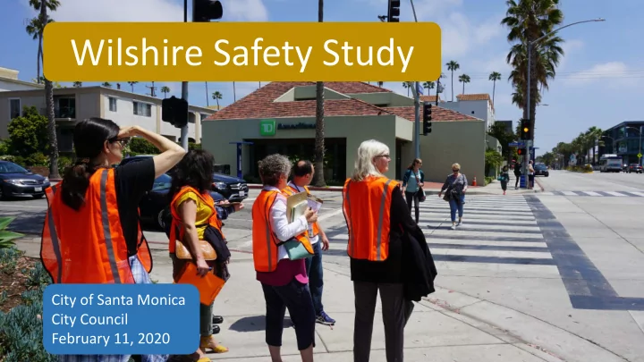

Wilshire Safety Study City of Santa Monica City Council February 11, 2020
TOP 10 INTERSECTIONS Priority Street 1. Olympic & 26 th 2. Ocean Park & Lincoln 3. Wilshire & 16 th 4. Olympic & 14 th 5. Pico & 4 th 6. Hollister & Neilson 7. Santa Monica & Cloverfield 8. Wilshire & 18 th 9. Wilshire & 21 st 10.Wilshire & 25 th 6 Fatal & 29 Severe Injuries (2006-2016)
Project Timeline Neighborhood Groups Mailers Neighborhood Groups Interactive Map Mailers Street Banners Interactive Map Email Email Planning Commission (May 22) Commission for the Senior Community Disability Commission Special Meeting of Planning Commission Community Workshop (June 08) Analysis & Community Workshop (Oct 19) Countermeasure Data City Council Development Gathering Feb 2019 March – June 2019 July – Sep 2019 Oct 2019 Winter 2020 Initial Outreach Follow-Up TODAY! Outreach
Interdepartmental Road Safety Audit
Interactive Map
Corridor Canvass
Street Banners
Community Workshops Workshop & Walk Audit 6.8.19 Special Planning Commission 10.17.19
Key Community Comments Improve crossing conditions for pedestrians Parking and loading in red curb zones Vehicles speeding and failing to yield Decreased visibility at dusk & night
Key Community Comments Improve crossing conditions for pedestrians Parking and loading in red curb zones Vehicles speeding and failing to yield Decreased visibility at dusk & night
Key Community Comments Improve crossing conditions for pedestrians Parking and loading in red curb zones Vehicles speeding and failing to yield Decreased visibility at dusk & night
Key Community Comments Improve crossing conditions for pedestrians Parking and loading in red curb zones Vehicles speeding and failing to yield Decreased visibility at dusk & night
Safety Data Analysis Unsignalized Corridor-wide Hot Spots Signalized
Phasing Recommendations Corridor-wide, Unsignalized, Signalized, & Hot Spot Phase 1 Phase 2 Phase 3 Phase 1 Phase 2 Phase 3 Immediate Medium Term Long Term
Phase 1 Corridor-wide
Phase 1 Upgrade Signs & Markings
Phase 1 Upgrade Signs & Markings
Phase 1 Upgrade Signs & Markings
Phase 1 Phase 1 Upgrade Signs & Markings
Phase 1 Rectangular Rapid Flash Beacon RRFB
Phase 1
Phase 1 Corridor-wide Bicycle Crossing Establish Connection Phase 3
Phase 1 Bicycle Crossing Enhancements
Phase 1 Corridor-wide Bus Safety Enhancements Nearside
Phase 1 Farside
Phase 1
Phase 1 Corridor-wide Curbside Management Study
Phase 1 Corridor-wide Lighting Assessment
Phase 1 Unsignalized Intersections
Phase 1 Right-turn only from stop controlled side streets
Phase 1 Unsignalized Pedestrian Refuge Medians
Phase 1 Replanting
Phase 1 Additional Reflectors
Phase 1 Signalized Intersections Leading Pedestrian Interval Increase Walk Time
Phase 1 & 2 Hot Spot Intersections
Hotspot Locations Phase 1 – Install high benefit Phase 1 enhancements with low cost components Phase 2 – Additional Phase 2 safety improvements in permanent capital materials
Phase 2 Hotspot 16 th Street 3 rd highest fatal and severe citywide crash location Significant % crashes involving older adults
Phase 2 New traffic signal Leading pedestrian interval Curb extensions on all corners
Phase 2 Hotspot Harvard Street High amount of community comments Offset geometry causing left turns to overlap
Phase 2 Right-turn only treatment Wider median Eliminates left turn overlap Curb extensions
Phase 2 Signalized Intersections
Phase 3 Corridor-wide Bicycle Connections
Phase 3
Phase 3 Corridor-wide Systematic Improvements Implement curb Curb Extension Move remaining bus stops to management far-side and identify in red plan Install lighting recommendations
Funding Corridor-wide, Unsignalized, Signalized, & Hot Spot Phase 1 Phase 2 Phase 3 Phase 1 Phase 2 Phase 3 $1 – 1.5 Million $4.5-5 Million $6-7 Million Grants – ATP, HSIP, Measure M
Wilshire Boulevard Safety Study Why – Identified as priority street to enhance safety What – Conducted significant outreach and data safety analysis How – Phased approach to allow immediate action
Recommend
More recommend