Eurosite Remote Sensing Support Group How did this group arise? - - PowerPoint PPT Presentation

eurosite remote sensing support group how did this group
SMART_READER_LITE
LIVE PREVIEW

Eurosite Remote Sensing Support Group How did this group arise? - - PowerPoint PPT Presentation

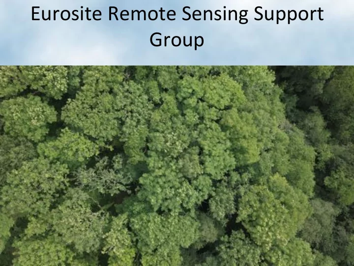
Eurosite Remote Sensing Support Group How did this group arise? The suggestion for a Eurosite remote sensing support group came initially from the floor at the Eurosite New Technologies workshop in April The issue was raised again


slide-1
SLIDE 1

Eurosite Remote Sensing Support Group

slide-2
SLIDE 2

How did this group arise?

  • The suggestion for a Eurosite remote

sensing support group came initially from the floor at the Eurosite New Technologies workshop in April

  • The issue was raised again by

delegates in post-workshop correspondence

  • The suggestion was then raised with

Kris and Jelke, who added it the work

  • f the group to the Eurosite work

programme for the next two years

  • This work programme has now been

approved

slide-3
SLIDE 3

The initial tasks of the group

  • To decide the main channels of communication, e.g. through Eurosite web portal

and/or Facebook page

  • To identify the range of expertise for each member / the whole group
  • To identify current geographical areas of support and fill gaps
  • To identify the principal forms of support that the group can offer
  • To identify national and international practitioner groups for support
  • To determine the expectations of the group and the main interest areas of the

target groups

  • To clarify Eurosite's expectations of the group

The first meeting of the group took place in the late October and identified these priorities:

slide-4
SLIDE 4

The current distribution of the group members

slide-5
SLIDE 5

The subject areas covered by the group

  • Collecting, processing and analysis of UAV

images, including multispectral and hyperspectral data;

  • Collecting, processing and analysis of

LIDAR data;

  • Processing and analysis of satellite

multispectral data such as those provided by PlanetScope, RapidEye, Sentinel-2 and Landsat systems

  • Image interpretation; and
  • Automated methods of change detection

These include:

slide-6
SLIDE 6

Deforestation Height change: Tall (trees) to short (shrubs, graminoids) or bare Change in Biomass: decrease between 2003- 2012 Regrowth Height change: Short (shrubs and trees) to tall (trees) Change in Biomass: increase between 2003- 2012

EVIDENCE-BASED CHANGE DAVOS, Switzerland FAO LCCS Change Events (Woody Vegetation) 2003 – 2012

slide-7
SLIDE 7

The forms of support that the group can offer

The most popular options for support are likely to include:

  • National/regional workshops /

training courses;

  • Personal consultations;
  • Social network interactions; and
  • Access to relevant manuals, articles

and case studies on a Eurosite web portal.

slide-8
SLIDE 8

Thanks for your attention

wmroz@eurosite.org