
SLIDE 1
Remote Sensing Aircraft Supports Disaster
- 1
Remote Sensing Aircraft Supports Disaster Remote Sensing Aircraft - - PowerPoint PPT Presentation
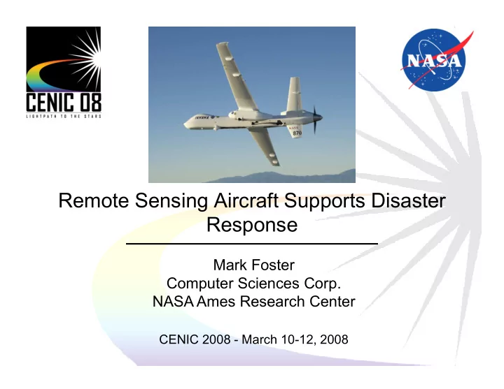
Remote Sensing Aircraft Supports Disaster Remote Sensing Aircraft Supports Disaster Response Mark Foster Computer Sciences Corp. NASA Ames Research Center CENIC 2008 ! March 10!12, 2008 1
Display: Google Earth
Publish
HTTP Server
Generate mission plan
Select
kml
Earth
Weather
NWS, NRL
MODIS
USFS, UMD
Select Targets
Google Earth
Generate Flight plan
text
Fire Incidents
USGS, NIFC NWS, NRL
Flight Restrictions
FAA
(Collaborative Decision Environment: courtesy Francis Enomoto,NASA ARC)
NASA Ames
Earth
Incident Command on the Lick Fire:
!" !" !"
# # # $ $ $ $
% % %
& & & # # # #
# # #
$ $ $ # # # # # # # #
# # # ' ' ' '
Situation Unit Leader on Moonlight Fire:
&(((((#(()( &(((((#(()( &(((((#(()( ((((#((#(( ((((#((#(( ((((#((#(( ((((#((#(( ((((($((( ((((($((( ((((($((( ((((($((( *(((+($((( *(((+($((( *(((+($((( *(((+($((( (((' (((' (((' ((('
#
%&'
$"'( )*&+
,
*/- $
1 $
2
– enable first responders to manage (and synchronize) large data sets – situational & spatial awareness – replace manual workflow (print, identify, cut, paste, I)
%
automatic import of new images (auto!update KML) – position and orientation of camera & image are indicated – billboards can be interactively explored at full resolution – searchable tags + custom icons (e.g., FEMA markings)
, Provide significant societal benefit