
SLIDE 1
October 19, 2007 University of Texas at San Antonio
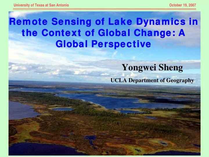
Remote Sensing of Lake Dynamics in Remote Sensing of Lake Dynamics in the Context of Global Change: A the Context of Global Change: A Global Perspective Global Perspective Yongwei Sheng
UCLA Department of Geography