Remote Sensing and Image Processing Structure Definitions of Remote - - PowerPoint PPT Presentation

remote sensing and image processing
SMART_READER_LITE
LIVE PREVIEW

Remote Sensing and Image Processing Structure Definitions of Remote - - PowerPoint PPT Presentation

Remote Sensing and Image Processing Structure Definitions of Remote Sensing Origins of remote sensing Types of aerial photograph Photogrammetry Parallax Human vision Aerial Photography and Photogrammetry


slide-1
SLIDE 1

Remote Sensing and Image Processing

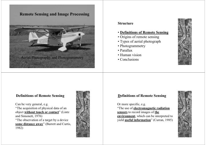
Aerial Photography and Photogrammetry Structure

  • Definitions of Remote Sensing
  • Origins of remote sensing
  • Types of aerial photograph
  • Photogrammetry
  • Parallax
  • Human vision
  • Conclusions

Definitions of Remote Sensing

Can be very general, e.g. “The acquisition of physical data of an

  • bject without touch or contact” (Lintz

and Simonett, 1976) “The observation of a target by a device some distance away” (Barrett and Curtis, 1982)

Definitions of Remote Sensing

Or more specific, e.g. “The use of electromagnetic radiation sensors to record images of the environment, which can be interpreted to yield useful information” (Curran, 1985)

slide-2
SLIDE 2

Definitions of Remote Sensing

Or more specific, e.g. “The use of sensors, normally operating at wavelengths from the visible to the microwave, to collect information about the Earth’s atmosphere, oceans, land and ice surfaces” (Harris, 1987)

Definitions of Remote Sensing

Main characteristics

  • Physical separation between sensor and

target

  • Medium = electromagnetic radiation (sonar

is an exception)

  • Device to sample and measure radiation

(sensor)

  • Target is the terrestrial environment

(atmosphere, oceans, land surface) Physical separation between sensor and target Medium = electromagnetic radiation (sonar is an exception)

slide-3
SLIDE 3

Device to sample and measure radiation (sensor) Target is the terrestrial environment (atmosphere, oceans, land surface)

Structure

  • Definitions of Remote Sensing
  • Origins of remote sensing
  • Types of aerial photograph
  • Photogrammetry
  • Parallax
  • Human vision
  • Conclusions

Origins of Remote Sensing

Remote sensing began with aerial photography

slide-4
SLIDE 4

Origins of Remote Sensing

First photographs taken in 1839

Origins of Remote Sensing

1858 Gasper Felix Tournachon "Nadar" takes photograph of village of Petit Bicetre in France from a balloon Paris by Nadar, circa 1859 Boston by Black and King (1860)

slide-5
SLIDE 5

World War One was a major impetus to development of aerial photography After the war the technology was in place to begin large scale aerial surveys

Structure

  • Definitions of Remote Sensing
  • Origins of remote sensing
  • Types of aerial photograph
  • Photogrammetry
  • Parallax
  • Human vision
  • Conclusions

Types of aerial photograph

  • Vertical
  • Low oblique
  • High oblique
slide-6
SLIDE 6

Types of aerial photograph

  • Vertical
  • Low oblique (no horizon)
  • High oblique

Types of aerial photograph

  • Vertical
  • Low oblique
  • High oblique

Types of aerial photograph Vertical is most important as it has minimum distortion and can be used for taking measurements Types of aerial photograph

Fiducial marks

slide-7
SLIDE 7

Types of aerial photograph

Fiducial axes

Types of aerial photograph

Principal point Marginal information

Types of aerial photograph

An aerial photograph mission will be flown in strips, shutter timing set for 60% endlap (needed for parallax) and strips spaced for 30% sidelap (to avoid missing bits)

Types of aerial photograph

  • Endlap (or forelap) is the

important bit

  • It ensures every point on the

ground appears in at least two photographs

  • Distance between principal point
  • f adjacent photographs is known as

the “air base”

slide-8
SLIDE 8

Structure

  • Definitions of Remote Sensing
  • Origins of remote sensing
  • Types of aerial photograph
  • Photogrammetry
  • Parallax
  • Human vision
  • Conclusions

Photogrammetry

If you know focal length of camera and height of aircraft above the ground you can calculate the scale

  • f the photograph

Photogrammetry

Scale = f/H-h f = focal length (distance from centre of lens to film surface)

Photogrammetry

Scale = f/H-h H = flying height of aircraft above sea level h = height of ground above sea level

slide-9
SLIDE 9

Photogrammetry

When you know the scale you can take 2-D measurements from a photograph (e.g. horizontal distance, horizontal area, etc.)

Photogrammetry

But to take “true” measurements on an uneven surface you need to work in 3-D

Photogrammetry

But to take “true” measurements on an uneven surface you need to work in 3-D You can do this thanks to parallax

Structure

  • Definitions of Remote Sensing
  • Origins of remote sensing
  • Types of aerial photograph
  • Photogrammetry
  • Parallax
  • Human vision
  • Conclusions
slide-10
SLIDE 10

Parallax

Pencil is very displaced because it is close to observer Church is less displaced because it is further away

Parallax

Parallax is used to find distance to stars, using two viewing points on either side of Earth’s orbit

Parallax

The same principle can be used to find height of objects in stereopairs of vertical aerial photographs

Parallax

H = height of aircraft above ground P = absolute parallax at base of object being measured* dP = differential parallax * For convenience the photo base length of a stereo pair is commonly substituted for absolute stereoscopic parallax (P)

slide-11
SLIDE 11

Structure

  • Definitions of Remote Sensing
  • Origins of remote sensing
  • Types of aerial photograph
  • Photogrammetry
  • Parallax
  • Human vision
  • Conclusions

Human vision

Human vision is binocular in most cases, and human eyes can resolve parallax as angle of convergence This provides perception of “depth” and enables us to judge distances (up to 400m)

Eye base (6-7cm)

Human vision

3-D stereoptic viewing of the Earth’s surface is possible using

  • verlapping pairs of

vertical stereo aerial photographs

Human vision

Two types of light-sensitive cells are present in the retina:

  • Cones are sensitive to radiation of specific wavelengths

(either red, green or blue)

  • Rods are sensitive to all visible wavelengths
slide-12
SLIDE 12

Human vision

Two types of light-sensitive cells are present in the retina:

  • Cones are clustered around the fovea centralis
  • Rods are widely distributed elsewhere

Human vision

Optical plane Fovea centralis

Structure

  • Definitions of Remote Sensing
  • Origins of remote sensing
  • Types of aerial photograph
  • Photogrammetry
  • Parallax
  • Human vision
  • Conclusions

Conclusions

  • Remote sensing involves collecting information

about the Earth from a distance using electromagnetic sensors

  • It evolved from aerial photography
  • Vertical stereopairs of aerial photographs are used

to take 3-D measurements by measuring parallax

  • Human vision is binocular, enabling us to resolve

parallax for depth perception

  • Human vision includes perception of colour