
SLIDE 1
University Milano Bicocca (Italy) University Cheik Anta Diop (Senegal) SNAPE (Guinea) UNICEF (Guinea and Senegal)
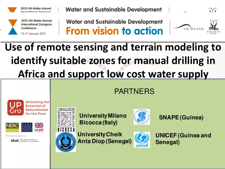
Use of remote sensing and terrain modeling to identify suitable - - PowerPoint PPT Presentation
Use of remote sensing and terrain modeling to identify suitable zones for manual drilling in Africa and support low cost water supply PARTNERS University Milano SNAPE (Guinea) Bicocca (Italy) University Cheik UNICEF (Guinea and Anta Diop
University Milano Bicocca (Italy) University Cheik Anta Diop (Senegal) SNAPE (Guinea) UNICEF (Guinea and Senegal)
REGION OF LOUGA – KEBEMER (NORTH WEST SENEGAL REGION OF KANKAN AND FARANAH (EAST GUINEA)
ACTIVITY ACADEMIA NATIONAL INSTITUTIONS INTERNATIONAL ORGANISATIONS SCIENTIFIC RESEARCH AND CAPACITY BUILDING
BICOCCA (IT)
DIOP (SEN)
DISSEMINATION As above
INTEGRATION RESEARCH INTO NATIONAL STRATEGY FOR WATER SUPPLY
COORDINATION WITH MANUAL DRILLING PROGRAM
BICOCCA (IT)
FUNDING NERC (UK) - scientific research UNICEF (with external donors) for manual drilling in Guinea
Borehole logs interpretation, pump test, geophysics
VEGETATION DYNAMICS - DRY SEASON MEAN NDVI LOUGA 0.1 0.25