
SLIDE 1
Accent image here Primary Image here
Reconstruction of the Pell Bridge Approaches
Public Workshop #2 July 16, 2018
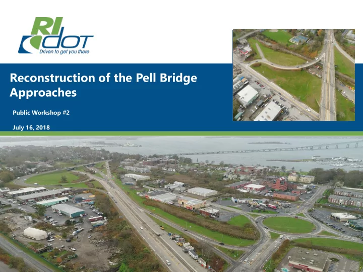
Reconstruction of the Pell Bridge Accent image here Approaches - - PowerPoint PPT Presentation
Reconstruction of the Pell Bridge Accent image here Approaches Public Workshop #2 July 16, 2018 Primary Image here Agenda Project Purpose and Need Environmental Assessment (EA) Process Public Meeting #1 Survey Input
Public Workshop #2 July 16, 2018
3
4
5
6
7
8
9
10
11
12
13
14
15
16
17
18
19
20
21
22
23
24