
SLIDE 1
NESHAMINY(CREEK) OPTIMAL WATERSHED (MINOW) Presented by: Shannon - - PowerPoint PPT Presentation
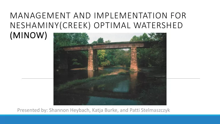
MANAGEMENT AND IMPLEMENTATION FOR NESHAMINY(CREEK) OPTIMAL WATERSHED (MINOW) Presented by: Shannon Heybach, Katja Burke, and Patti Stelmaszczyk Overview Mission Statement Characteristics Land Use Water Use Existing
To reduce Neshaminy Creek flow for a 2-year design storm by 10% before January 2020, thus improving water quality, preventing erosion, and preventing habitat loss.
Length: 41 Miles Watershed Area: 233 square miles Population in 2000: 333,297 Projected Population in 2040: 368,000
forested with regions of low and high intensity residential surrounding major city.
watershed are agriculture, low density residential, and forest.
surface water.
Public Drinking Water
Agricultural uses
withdrawals and other unmeasurable quantities such as evaporation.
Problem Cause Result Flooding Increased Development Damage to infrastructure and a hazard to human health Streambank Erosion Flooding from increased runoff Steep, unstable banks, increased sediments into creek, loss of habitat. Loss of Habitat Streambank erosion, urbanization Decrease in diversity and total population of aquatic, and other creek wildlife. Increased Sediment, Nitrogen, and Phosphorous concentration From increased runoff and erosion large algal blooms and high levels of phytoplankton biomass which decreases the dissolved oxygen concentration and increases the toxic ammonia nitrogen
North Branch Watershed Association: The NBWA works to improve the quality of the North Branch
conservation efforts. Bucks County Conservation District: A unit of the state government dedicated to the conservation of the soil, water and other natural resources in Bucks County, where the mouth of the Neshaminy is located. Water Resource Education Network: A project of the League of Women Voters of Pennsylvania dedicated to protect and improve water as a natural resource.
NPDES Phase II: The National Pollution Discharge Elimination System Phase II stormwater plan and permit requirements for Municipal Separate Storm Sewer Systems will influence all municipalities in the Neshaminy Creek. If the municipality population is over a certain threshold population density, the municipality must be permitted under this program. River Conservation Plan: The River Conservation Plan is a critical tool in creating new partnerships within the watershed to promote inter-municipal cooperation and planning. The goal of this plan is to use it as a way to implement environmental change as if the groups were doing business. Act 167 Stormwater Management Plan: The Act 167 plan looks to reduce future stormwater impacts from new development, such as model ordinances and stormwater BMP information. Neshaminy Creek Watershed Work Plan Number 5: This work plan is to implement nonstructural alternatives opposed to flood control dams to provide the most protection from flood damage.
Problem Goal Solution Flooding G1: To minimize flood events and protect from property damage Impervious surfaces Riparian Buffers Individual Stormwater Management Programs Streambank Erosion G2: To minimize major erosion
Riparian Buffers Stormwater Best management practices Loss of Habitat G3: To secure floodplain land as habitat for wildlife Riparian Buffers-continuous greenway Increased Sediment, Nitrogen, and phosphorous concentration G4: To ensure fishable and drinkable water by improving water quality in the Neshaminy Creek. Reduce runoff and erosion by riparian buffers and better stormwater management Filtration of stormwater before it enters the natural system