
SLIDE 1
Newfound Lake Region Association Protecting the Watershed Lakes - - PowerPoint PPT Presentation
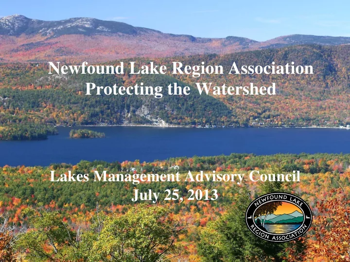
Newfound Lake Region Association Protecting the Watershed Lakes Management Advisory Council July 25, 2013 NEWFOUND LAKE WATERSHED Watershed Factoids Watershed Factoids Nine Towns Touched by Watershed Nine Towns Touched by Watershed
NEWFOUND LAKE WATERSHED
– – 5 Towns, 95+ % of Land and People
5 Towns, 95+ % of Land and People
25’ 25’ 75’ 125’ 150’
>25% Slopes
(1’ Rise in 4’ Run)
+100’ Limited Use Zone Wetlands 100‐year Floodplain 150’ No Disturbance Zone
Stream
Distance Varies Varies
All Watercourses
1st & 2nd Order Streams 3rd & 4th Order Streams 5th Order & Above
Stream Order‐based Setbacks Core Buffer Zone
(Both Sides of Stream)
Adapted from the Architecture of Urban Stream Buffers, Article 39, Watershed Protection Techniques. 1 (4): 155 – 163. Published by the Center for Watershed Protection http://www.cwp.org/
25’ 25’ 75’ 125’ 150’
>25% Slopes
(1’ Rise in 4’ Run)
+100’ Limited Use Zone Wetlands 100‐year Floodplain 150’ No Disturbance Zone
Stream
Distance Varies Varies
All Watercourses
1st & 2nd Order Streams 3rd & 4th Order Streams 5th Order & Above
Stream Order‐based Setbacks Core Buffer Zone
(Both Sides of Stream)
Tiered Riparian Buffers Tiered Riparian Buffers
25’ 25’ 75’ 125’ 150’
>25% Slopes
(1’ Rise in 4’ Run)
+100’ Limited Use Zone Wetlands 100‐year Floodplain 150’ No Disturbance Zone
Stream
Distance Varies Varies
All Watercourses
1st & 2nd Order Streams 3rd & 4th Order Streams 5th Order & Above
Stream Order‐based Setbacks Core Buffer Zone
(Both Sides of Stream)
Wetlands Wetlands
Photo Credits: Doug Bechtel & Ben Kimball
25’ 25’ 75’ 125’ 150’
>25% Slopes
(1’ Rise in 4’ Run)
+100’ Limited Use Zone Wetlands 100‐year Floodplain 150’ No Disturbance Zone
Stream
Distance Varies Varies
All Watercourses
1st & 2nd Order Streams 3rd & 4th Order Streams 5th Order & Above
Stream Order‐based Setbacks Core Buffer Zone
(Both Sides of Stream)
Photo Credits: Dan Sperduto & Mike Marchand
100 100-
Year Floodplains
25’ 25’ 75’ 125’ 150’
>25% Slopes
(1’ Rise in 4’ Run)
+100’ Limited Use Zone Wetlands 100‐year Floodplain 150’ No Disturbance Zone
Stream
Distance Varies Varies
All Watercourses
1st & 2nd Order Streams 3rd & 4th Order Streams 5th Order & Above
Stream Order‐based Setbacks Core Buffer Zone
(Both Sides of Stream)
Floodplains & Wetlands Floodplains & Wetlands Vernal Pools Vernal Pools
Photo Credits: Mike Marchand
25’ 25’ 75’ 125’ 150’
>25% Slopes
(1’ Rise in 4’ Run)
+100’ Limited Use Zone Wetlands 100‐year Floodplain 150’ No Disturbance Zone
Stream
Distance Varies Varies
All Watercourses
1st & 2nd Order Streams 3rd & 4th Order Streams 5th Order & Above
Stream Order‐based Setbacks Core Buffer Zone
(Both Sides of Stream)
Steep Slopes Steep Slopes
Cockermouth River
Boyd Smith, Executive Director Boyd Smith, Executive Director Newfound Lake Region Association Newfound Lake Region Association 800 Lake St. 800 Lake St. Bristol, NH 03222 Bristol, NH 03222 603 603-
744-
8689 NLRA.Boyd@metrocast.net NLRA.Boyd@metrocast.net www.NewfoundLake.org www.NewfoundLake.org