SLIDE 1
Stream Corridor Overlay Local Law Developed by the Moodna Creek - - PowerPoint PPT Presentation
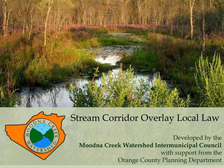
Stream Corridor Overlay Local Law Developed by the Moodna Creek Watershed Intermunicipal Council with support from the Orange County Planning Department Why gives streams room? Structures built too close to streams are at great risk of being
SLIDE 2
SLIDE 3
Structures built too close to streams are at great risk of being damaged and/or washed downstream. Not only can this cause personal loss, but large debris can further damage downstream property and infrastructure.
SLIDE 4
Source: Moodna Creek Watershed Conservation and Management Plan, Appendix C
Buffering Streams Saves Money
Decrease flood hazards Reduce need for emergency rescues Reduce need for expensive flood mitigation projects Could decrease cost of water treatment
SLIDE 5
FEMA’s Community Rating System saves homeowners
- n their flood insurance.
SLIDE 6
Source: Conservation Thresholds for Land Use Planners
Four Protection Options: A, B, C, or D A least restrictive D most restrictive
Each Option has a Primary Buffer and a Secondary Buffer
SLIDE 7
Source: Conservation Thresholds for Land Use Planners
Riparian Buffer Area consists of: Primary Riparian Buffer 50’ or 100’ + Secondary Riparian Buffer 50’, 100’, or 100+’
SLIDE 8
Source: Conservation Thresholds for Land Use Planners
Riparian Buffer Area Buffer Distance Range: 100’ +/- 500’
SLIDE 9
- If a wetland or a 100-year floodplain
- ccurs even partially within the
Secondary Riparian Buffer, the entire area will be included in the Secondary Riparian Buffer.
Protection Options C & D
- If a steep slope or highly erodible soil
- ccurs within the Secondary Riparian
Buffer, these areas - up to a maximum of 400 feet from the stream bank - will be included in the Secondary Riparian Buffer.
SLIDE 10
Source: Conservation Thresholds for Land Use Planners
Primary Riparian Buffer: Permitted Uses
- Benches, seating
- Approved flood control structures, GI practices, stream bank
stabilization measures
- Temporary erosion control measures
- Maintenance of existing roads or other surfaces
- Culverts
- Public utilities
- Recreation: non-paved trails, water-related public access
- Storage of non-motorized watercraft
- Limited tree-cutting, in accordance with Forest Stewardship
Plan
SLIDE 11
Source: Conservation Thresholds for Land Use Planners
Secondary Riparian Buffer: Permitted Uses
- All uses allowed in Primary Buffer, plus
- Improvements to allow passive recreation (e.g. decks, tables,
playground equipment), total area not to exceed 200 sq. ft. and occupy no more than 10% of Secondary Buffer on that parcel
- Fences, provided they do not impeded floodwaters
- Landscaping, planting or maintenance activities that do not
negatively impact integrity of Buffer
SLIDE 12
Prohibited in the Riparian Buffer :
- Storage of hazardous or waste materials
- Application of herbicides, fertilizers, pesticides
and chemicals
- Introduction of invasive species
- Waste disposal, including dumping of snow, ice,
manure, used automobiles or appliances, and
- ther abandoned materials
- Mining or removal of soil, sand, gravel
- Stream alteration, except where permitted by
NYSDEC
- Parking of motorized vehicles
- Alteration of rare species habitat
SLIDE 13
Protection Option A: 50’ PRIMARY Buffer
SLIDE 14
Option A: 50’ PRIMARY & 50’ SECONDARY Buffers
SLIDE 15
Protection Option D: 100’ PRIMARY Buffer
SLIDE 16