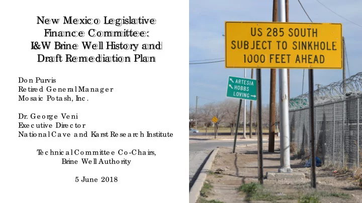
SLIDE 1 Ne w Me xic o L e g isla tive F ina nc e Co mmitte e : I &W Brine We ll Histo ry a nd Dra ft Re me dia tio n Pla n
Do n Purvis Re tire d Ge ne ra l Ma na g e r Mo sa ic Po ta sh, I nc .
E xe c utive Dire c to r Na tio na l Ca ve a nd K a rst Re se a rc h I nstitute T e c hnic a l Co mmitte e Co -Cha irs, Brine We ll Autho rity 5 June 2018
SLIDE 2
What is a Brine Well and How Does it Collapse?
A: Fresh water is put down a well into deep, natural salt beds to create salt water, creating a cavity. B: The brine is pumped out for use, more fresh water is injected, and the cavity grows. C: If cavity growth is not controlled carefully, it becomes too large to support its roof, which collapses.
A B C
SLIDE 3
Brine Well and Potentially Related Collapses in the Permian Basin
1) Wink Sink 1, Wink, Texas, June 1980 2) Jal Sinkhole, Jal, NM, September 1998 3) Wink Sink 2, Wink, Texas, May 2002 4) Boehmer Lake Sinkhole, Imperial, Texas, 2003 5) Imperial Sinkhole, Imperial, Texas 2008 6) JWS Sinkhole, Eddy County, NM, July 2008 7) Loco Hills Sinkhole, Loco Hills, NM, November 2008 8) Denver City Sinkhole, Denver City, Texas, July 2009 9) I&W Brine Well, Carlsbad, NM, estimated to collapse 2021-2036. Plus 32 brine wells in southeast New Mexico
1,3 2 4,5 6 7 8 9
SLIDE 4
The JWS Sinkhole is 320 ft. in diameter, over 100 ft. deep, and is one of three Permian Basin brine well collapses in 2008-2009.
Subsidence fractures
SLIDE 5
Large subsidence fractures formed around the JWS Sinkhole, and once-level land now slumps toward the sinkhole.
SLIDE 6 Stage 1: Initiation (collapse begins) Stage 2: Breach of Surface (within hours to days) Stage 4: Advanced Subsidence (continues for decades) Stage 3: Initial Subsidence (within a few weeks)
Stages of Sinkhole Collapse
SLIDE 7 BNSF Railroad US Hwy 285 I&W Brine Well Cavity
Google Earth Aerial Image of Carlsbad The I&W Brine Well Cavity was identified as very similar in geology and production history to the collapsed wells. Brine production ceased and monitoring began. It is located at Carlsbad’s “South Y,” the most crucial junction of major infrastructure in the city:
- Intersection of 2 of the 4 highways
into the city;
- Carlsbad Irrigation District Canal,
the primary source of water for agriculture in south Eddy County;
- BNSF railroad, the critical
transportation route for Mosaic Potash mines.
Pecos River
SLIDE 8 Brine Well Cavity: Estimated Collapse Zone and Potential Zone of Subsidence for Decades
0 400 feet
Restaurant Restaurant Bank Car Dealer Hotel Feed Gas Church Warehouse Gov. Offices Homes Mobile Home Park Bank Gas Gas Gas Homes Gas Elementary School
SLIDE 9 From: Mosaic (2017)
SLIDE 10 From: Mosaic (2017)
SLIDE 11 From: Mosaic (2017)
SLIDE 12 From: Mosaic (2017)
SLIDE 13 Summary comparison of Carlsbad to Hutchison
- Cavity geometries are different. Hutchison is a cone, which is easier to fill. Carlsbad is a pancake
which is more complex to fill and requires many more drilled holes.
- Hutchison cavities don’t have all of the rubble that is present in Carlsbad. The rubble doesn’t
provide a solid foundation for the grout and requires a more complex fill plan.
- Hutchinson has been monitored for 4 years with no evidence of subsidence to date, so the
remediation appears to be successful.
- Hutchison did not need to maintain brine water pressure in the cavity, which is crucial in Carlsbad
and adds cost to the remediation.
- The Carlsbad situation is different, but Hutchison is an example that such remediation has been
done before.
SLIDE 14 Brine Well Authority’s Technical Subcommittee Observations
- n the Draft Remediation Plan
- Wood recognizes that substantial rubble fills the cavity and that a two-stage fill plan is needed to
stabilize the rubble.
- Wood recognizes that multiple holes are needed to effectively fill the cavity; 26 are proposed due
to the pancake shape of the cavity.
- The draft plan is based on a very detailed examination of all data collected on the cavity, giving a
high level of confidence that the plan is likely to be an effective solution to the problem.
- The draft plan lacks some details that will be important to the implementation of the final plan.
The Subcommittee has submitted a list of those details to OCD and expects Wood to provide them in the final plan.
- Wood’s final plan needs to cover a range of actual conditions that may be encountered during
remediation, in terms of how to address those conditions and what the final project costs may
- be. The geophysical information is not conclusive on the rubble volume and distribution, and the
volume of fill material could be substantially greater than the draft plan suggests.