
SLIDE 1
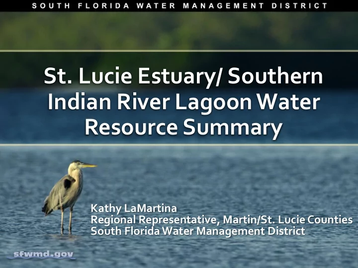
- St. Lucie Estuary/ Southern
Indian River Lagoon Water Resource Summary
Kathy LaMartina Regional Representative, Martin/St. Lucie Counties South Florida Water Management District
Indian River Lagoon Water Resource Summary Kathy LaMartina - - PowerPoint PPT Presentation
St. Lucie Estuary/ Southern Indian River Lagoon Water Resource Summary Kathy LaMartina Regional Representative, Martin/St. Lucie Counties South Florida Water Management District Water Resource Modifications Historic Current Flow Flow
Kathy LaMartina Regional Representative, Martin/St. Lucie Counties South Florida Water Management District
resulted in failure of the levee around Lake Okeechobee
wide-spread flooding throughout South Florida
Federal assistance in 1947
Project in 1948
Martin County 2000
S-48 in Martin County
C-25 Canal in St. Lucie County
S-80 in Martin County
control structures and 625 project culverts
acres of agriculture
natural areas
Lake Okeechobee
Inflow capacity far exceeds outflow capacity
Managed by the USACE (red ) and the SFWMD (blue )
S-79:
Franklin Lock & Dam
S-78:
Ortona Lock & Dam
S-77:
Moore Haven Lock & Dam
S-71 S-72 S-65E S-80:
Lock & Dam
S-308:
Port Mayaca Lock & Dam
S-354 S-351 S-352 C-10A
Lake Release at S-77 Lake Release at S-308 C-43 Basin Runoff C-44 Basin Runoff
During Wet Periods
S-79 Discharge to Caloosahatchee Estuary Lake Inflows S-80 Discharge to
EAA Runoff Lake Release through EAA to WCAs (via STAs) &/or to tide
May 18 2013 – October 15, 2013
DISTRICT-WIDE: 39.05” (117% of Avg,
(1947 was wettest by 0.37”)
November 2015– January 2016
DISTRICT-WIDE: 16.22” (300% of Avg,
less
average or 476 percent of average
keeping began in 1932
2013
Hurricane Season Jun-Nov
22
Does not include runoff from tidal basin or groundwater
Data through Sep 30th
WCA water levels STA treatment capability Protected species
EAA Flood Control WCA levee integrity Water levels in NE Shark River Slough S-12 discharge capacity
200000 400000 600000 800000 1000000 1200000 1400000 1979 1981 1983 1985 1987 1989 1991 1993 1995 1997 1999 2001 2003 2005 2007 2009 2011 2013 2015
Annual Total Discharges (Thousand Acre Feet)
S-80 S-97 S-49
0.000 0.050 0.100 0.150 0.200 0.250 0.300 0.350 0.400 0.450 1979 1980 1981 1982 1983 1984 1985 1986 1987 1988 1989 1990 1991 1992 1993 1994 1995 1996 1997 1998 1999 2000 2001 2002 2003 2004 2005 2006 2007 2008 2009 2010 2011 2012 2013 2014 2015
Total Phosphorus (Milligrams per Liter)
C-44 SC-23 C-24
28
C-23 Canal 2000 - 2005 Flow & T-PO4 Flow Weighted Mean
10000 20000 30000 40000 50000 60000 70000 80000 90000 100000 2000 Jan Apr Jul Oct 2001 Jan Apr Jul Oct 2002 Jan Apr Jul Oct 2003 Jan Apr Jul Oct 2004 Jan Apr Jul Oct 2005 Jan Apr Jul Oct Flow (ac/ft) 0.000 0.100 0.200 0.300 0.400 0.500 0.600 0.700 0.800 T-PO4 (mg/l) Flow T-PO4
June 30, 2013 July 30, 2013
Areas Not Modeled Areas Not Modeled
Peacock Ranch in St. Lucie County
Peacock Ranch in St. Lucie County
Peacock Ranch in St. Lucie County
Elkcam Waterway in St. Lucie County
Martin Downs Country Club in Martin County
Port St. Lucie
Standards for Impaired Water Bodies
Salerno Creek in Martin County
Platts Creek in St. Lucie County
and State of Florida Presented plan to Congress.
Framework for Everglades Restoration in the Water Resources Development Act of 2000 (WRDA 2000)
Project Cost Sharing
50% Federal
50% State
improve quality, quantity, timing and flow of water.
sustainable water supply to meet environmental, agricultural and urban needs.
Loxahatchee River Restoration C-111 Spreader Canal
C-44 Stormwater Treatment Area
implemented over 35 years.
Reservoirs
Areas
Sheetflow
Components:
50,600 acre feet
~100,000 acre feet
5,900 acre feet
Water Storage & Treatment Area (NWSTA)
48
C-44 STA C-44 Reservoir
agreements with NRCS – WRP
Allapattah Flats
conveyance of water south of Lake Okeechobee
from the Lake
levees within the central Everglades
through Everglades National Park while protecting urban and agricultural areas to the east from flooding
benefits to the Everglades ecosystem:
water, which will significantly decrease the frequency and intensity of harmful freshwater discharges to the norther estuaries.
Estuary, St. Lucie Estuary and the Everglades by 252 metric tons per year.