
SLIDE 1
Freshwater Discharges to Lake Worth Lagoon Julie O. Bishop - - PowerPoint PPT Presentation
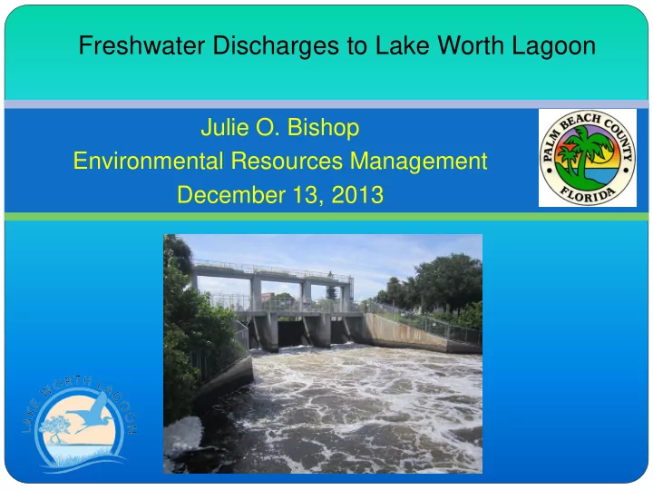
Freshwater Discharges to Lake Worth Lagoon Julie O. Bishop Environmental Resources Management December 13, 2013 LAKE WORTH LAGOON Orig. FW 20 mi long mi wide North Palm Beach to Ocean Ridge 13 Municipalities 480 sq.
Aerial Mapping ~5 yrs 2001 & 2007 seagrass
2012 & 2013 unable to
Grant funded by State
C-17 C-51 C-16
2013 Adjacent to Rybovich Marina
70% with seagrass
7% with seagrass
SEAGRASS MAPPING 2013
50% with seagrass
C-17 C-51 C-16
200 400 600 800 1000 1200 Total # of Cells with Seagrass
Overall frequency of seagrass occurrence in the Lake Worth Lagoon, 2000-2013
March 2012 August 2013
Course
Freshwater Discharges contain
suspended sediments & high nutrients
Results
Muck Deposits Increased Turbidity Blankets Sand Substrate Reduces Biodiversity
C-51
Ibis Isle Restoration John’s Island Oysters Snook Island Natural Area
Grassy Flats (Proposed)
Proposed seagrass (10.52 ac) Enhanced seagrass (9.31 acres) Proposed cordgrass (1.14 ac) Proposed mangrove (0.33 ac) Proposed open area (0.27 ac) Proposed oyster/artificial reef (0.57 ac) Existing boat access to remain (30' wide) Existing mangrove planter (0 8 ac)
( )
Existing mangrove planter (0.8 ac)
#
"Danger: Submerged Rock" sign
PBC ($920,000, including in kind)
C t ti t b i S i
Julie O. Bishop Environmental Resources Management