
SLIDE 1
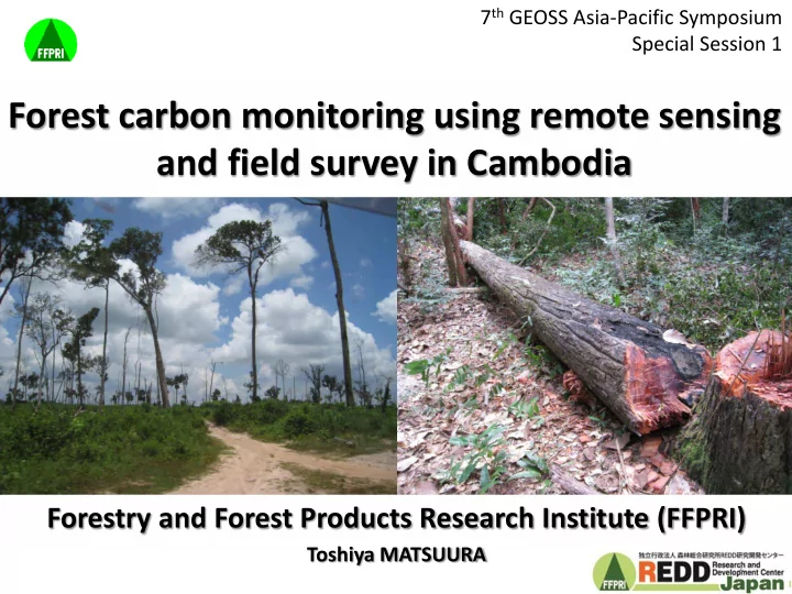
Forest carbon monitoring using remote sensing and field survey in Cambodia
Forestry and Forest Products Research Institute (FFPRI)
Toshiya MATSUURA 7th GEOSS Asia-Pacific Symposium Special Session 1
1
Forest carbon monitoring using remote sensing and field survey in - - PowerPoint PPT Presentation
7 th GEOSS Asia-Pacific Symposium Special Session 1 Forest carbon monitoring using remote sensing and field survey in Cambodia Forestry and Forest Products Research Institute (FFPRI) Toshiya MATSUURA 1 In this presentation, Forest carbon
1
2
Image classification Verification Plot survey Allometry
e.g. Rubber, Mangrove
3
low high
4
NDVI: normalized difference vegetation index
5
Red band NIR band Green band
Reflectance
Cloud & shadow mask 0 20 40 km
6
Chinit river basin (3,644km2)
7
200 400 600 800 2002-2006 2006-2010 2010-2013
ELC
100km2 200km2 About 800km2 About 6 times Doubled
(Cloud-shadow mask were excluded in 2013)
Doubled
10000 20000 30000 40000 50000 2002 2006 2010 2013 sum(F) sum(RP)
Forest Rubber plantation (ELC)
2010 10 – 2012 2012 2005 05 – 2009 2009 2000 00 – 2004 2004 1996 96 – 1999 1999 Ye Year
(Source: Open Dev. Cambodia)
8
5,000 10,000 15,000 20,000
2005 2007 2009 2011 2013 Wet rice Upland rice Soybean
Eastern Kompong Thom (Kurashima, unpublished)
9
y = -0.12 x2 + 13.29 x - 28.95 R² = 0.95 100 200 300 20 40 60
20 40 60
5 10 15 20 25 30 35 40 45 50 55 60
10