
SLIDE 1
Auckland
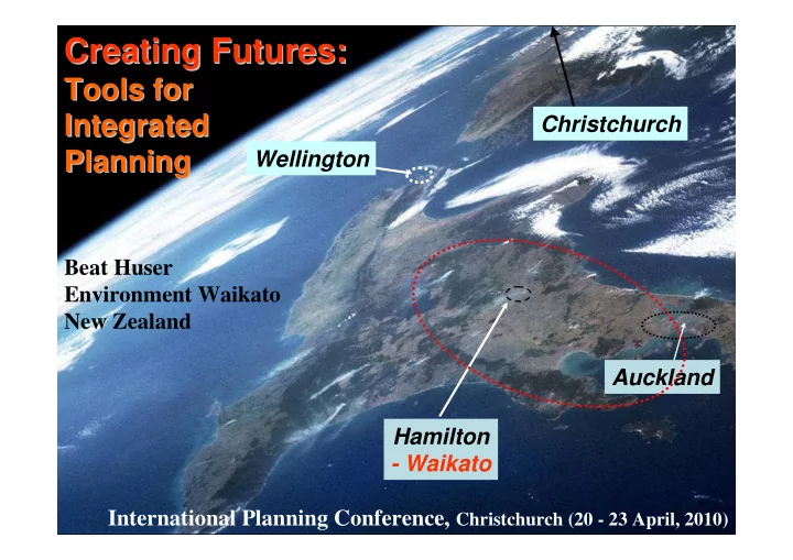
Creating Futures: Creating Futures:
Tools for Tools for Integrated Integrated Planning Planning
Wellington International Planning Conference, Christchurch (20 - 23 April, 2010) Beat Huser Environment Waikato New Zealand Christchurch Hamilton
- Waikato