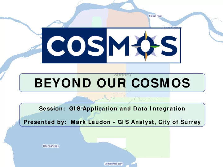
BEYOND OUR COSMOS Session: GI S Application and Data I ntegration - - PowerPoint PPT Presentation

beyond our cosmos
SMART_READER_LITE
LIVE PREVIEW

BEYOND OUR COSMOS Session: GI S Application and Data I ntegration - - PowerPoint PPT Presentation

BEYOND OUR COSMOS Session: GI S Application and Data I ntegration Presented by: Mark Laudon - GI S Analyst, City of Surrey OUTLI NE Background Vision COSMOS I ntegration To Date COSMOS I ntegration The Future Questions BACKGROUND


slide-1
SLIDE 1

BEYOND OUR COSMOS

Session: GI S Application and Data I ntegration Presented by: Mark Laudon - GI S Analyst, City of Surrey

slide-2
SLIDE 2

OUTLI NE

Background Vision COSMOS I ntegration – To Date COSMOS I ntegration – The Future Questions

slide-3
SLIDE 3

BACKGROUND

  • Rapidly grow ing city ( pop > 4 0 0 k)
  • I ncreased population = increased

data to m aintain and share

  • Over 9 0 internal inform ation

system s, over 6 0 specialized apps

  • COSMOS launched 2 0 0 4 internally,

2 0 0 5 public

170 K 289 K 349 K 382 K 436 K

1981 1991 1996 2001 2006

slide-4
SLIDE 4

OUR VI SI ON

  • Provide data/ application

integration to:

  • increase the City’s level of

service to its residents and business com m unity

  • to stream line internal City

business processes

  • Leverage w eb based inform ation

delivery solutions = COSMOS

slide-5
SLIDE 5

TEMPEST

  • Tem pest - property m anagem ent

softw are for m unicipalities

  • COSMOS Property Report
slide-6
SLIDE 6
slide-7
SLIDE 7

AMANDA

  • Am anda - autom ating governm ent

enterprises by tracking jurisdiction's activities relating to Property and People

slide-8
SLIDE 8

PURCHASE SPATI AL DATA

  • Geocortex Data Distributor/ SAFE

Softw are’s Spatial Direct

slide-9
SLIDE 9

PURCHASE SPATI AL DATA

  • Class Softw are’s Point of Sale
slide-10
SLIDE 10

PURCHASE SPATI AL DATA

  • Accellion Courier– File Dow nloads
slide-11
SLIDE 11

DTS

  • Draw ing Tracking System
  • Engineering and Legal Draw ings
slide-12
SLIDE 12

PTS

  • Project Tracking System
slide-13
SLIDE 13

CI TYW ORKS

  • Critical data fields ( costs, w ork order

dates, condition, w arranty) transferred from Cityw orks database to spatial data

slide-14
SLIDE 14

I MAGE LI NKS

  • Sensitive Habitat I nventory and

Mapping I m agery

slide-15
SLIDE 15

I MAGE LI NKS

  • 2 7 2 Traffic Signals
slide-16
SLIDE 16

DRI VI NG DI RECTI ONS

  • Driving directions via Google Maps™
slide-17
SLIDE 17

BEYOND OUR COSMOS

  • Extend COSMOS beyond initial scope
  • Possible future integration points

include:

  • SCADA – W ater, etc.
  • 3 d Lidar Models
  • Perm itting System s/ POSSE
  • Expanded Property Report
  • Real Tim e Tracking
  • Street View
slide-18
SLIDE 18

BEYOND OUR COSMOS

Questions?