
SLIDE 1
2/5/2017 1
Draft Draft
Hancock County Flood Risk Reduction
Project Update: Maumee Watershed Conservancy District
January 17, 2017
Draft Draft
Agenda
Project Overview Stantec Scope
- Ga p Ana lysis
- Da ta Co lle c tio n
- De sig n Re fine me nt
Why Alternatives? Alternatives
- Hydra ulic
- Cha nne l Wide ning , Da m Re mo va l, a nd
Bridg e Mo dific a tio ns
- Hydro lo g ic
- Dive rsio n E
xpa nsio n / E xte nsio n a nd Sto ra g e
Draft Draft
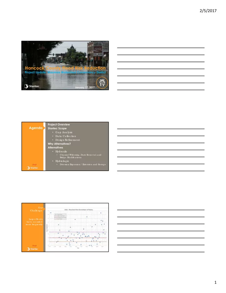
Our Cha lle ng e
L a rg e r flo o ds ha ve o c c urre d mo re fre q ue ntly