
SLIDE 1
April 23, 2014 | JHS 210 Elizabeth Blackwell| 6:00 - 8:30 PM
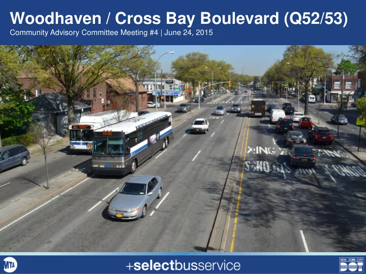
Woodhaven / Cross Bay Boulevard (Q52/53)
Community Advisory Committee Meeting #4 | June 24, 2015
Woodhaven / Cross Bay Boulevard (Q52/53) Community Advisory - - PowerPoint PPT Presentation
Woodhaven / Cross Bay Boulevard (Q52/53) Community Advisory Committee Meeting #4 | June 24, 2015 April 23, 2014 | JHS 210 Elizabeth Blackwell| 6:00 - 8:30 PM Agenda 1. Introductions 2. Presentation Woodhaven / Cross Bay SBS corridor
Community Advisory Committee Meeting #4 | June 24, 2015
2
3
4
In Motion 57% Red Lights 25% Bus Stops 18%
5
6
Total crashes by intersection (2008-2012)
7
8
9
10
11
12
13
14
15
16
17
0% 10% 20% 30% 40% 50% Midnight to 7am 7am to 10am 10am to Noon Noon to 2pm 2pm to 7pm 7pm to midnight
Cross Bay Blvd WoodhavenBlvd
0% 10% 20% 30% 40% 50% Less than 5 minutes 5-15 minutes 15-30 minutes
minutes
Cross Bay Blvd Woodhaven Blvd
18
26% 61% 74% 39% 0% 10% 20% 30% 40% 50% 60% 70% 80%
Woodhaven Cross Bay
Yes No
A major concern 45% Not a concern 32% A concern 23%
19
20
21
22
Pelham Parkway in the Bronx will inform the design of the bus lanes on Woodhaven Blvd Offset bus lanes around NYC will inform the design of the bus lanes on Cross Bay Blvd
23
Examples of median bus stations in NYC
24
25
26
27
28 1 The New York City Pedestrian Safety Study & Action Plan, August 2010
29
30
31
32