Wetland Land Use Notice Process, Statewide Wetlands Inventory - - PowerPoint PPT Presentation
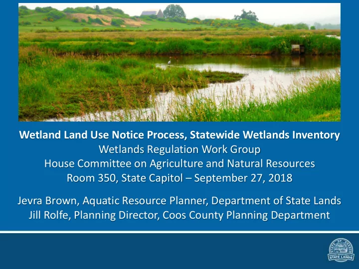
Wetland Land Use Notice Process, Statewide Wetlands Inventory Wetlands Regulation Work Group House Committee on Agriculture and Natural Resources Room 350, State Capitol September 27, 2018 Jevra Brown, Aquatic Resource Planner, Department of
Wetland Land Use Notice Process Overview
Local planning uses the Statewide Wetlands Inventory to determine when to submit a WLUN
Local planning receives project application
Local planners consult SWI* is the activity in or near wetlands or waters?
If YES Submit WLUN to DSL within five working days* DSL reviews and responds within 30 days*
Response goes to both the applicant and local government Applicant, local government, and state all have the same information about next steps
*ORS City 227.350; County 215.418; DSL 196.676. See handout for full WLUN statutes.
WETLAND LAND USE NOTICES
WHAT TO EXPECT AS AN APPLICANT Coos County Process
When an applicant comes to the Coos County Planning Department to inquire about development, staff will go
- ver all information that pertains to the property.
This includes wetlands.
Coos County Planning
This applies to any development from agricultural, residential, or commercial retail structures. If a use is permitted and there are wetlands identified on the property (anywhere) the project is delayed for 30 days to allow for comments and staff always explains why it is necessary to send these notices. Most of our processes take about 30 days to complete so this is not only thing that takes place within that 30 days. What we explain to an applicant is this notice is required by law and Coos County is trying to protect them (the applicant) from any enforcement action. We provide educational materials and, for the most part, people understand we have to follow the requirements.
Coos County Planning
Coos County uses the National Wetlands Inventory to check for wetlands that require a notice to the Department of State Lands. The wetland layer is on a GIS system that everyone has access to. Staff provides guidance on how to use this tool.
Coos County Planning
The applicant is required to provide a plot/site plan showing where the proposed development will be located. That notice and any other application materials are uploaded on the DSL website. Staff is able to do this the day or day after the application packet has been submitted. Once the notice is submitted staff awaits a response from DSL or the thirty days to expire. Even if does expire (this has maybe happened once or twice) staff will call DSL staff to verify there were no comments.
ORS provides guidance to Cities and Counties if DSL response >30 days
Coos County Planning
Wetland Land Use Notice – DSL Review
- DSL receives notice and reviews all available resources:
– Photo resources: Historic aerials, street view – DSL file database – GIS datasets including
- All datasets in the SWI web map
- Essential Salmonid Habitat, Scenic Waterways maps
- Lidar and others
– May also request additional information or an onsite visit
- Findings of review provided in DSL response
Wetland Land Use Notice – DSL Response
- Response to applicant and planner includes
– Review findings – Delineation needed, or not – Permit needed, or not (when possible) – Any related permits or delineations – DSL Staff contact
- May result in onsite follow-up when possible & requested
Wetland Land Use Notice
WLUN Report FY2018 685 total WLUN from 19 counties and 37 cities Average response in 20 days
See WLUN Annual Report Table 2: Wetland Land Use Notices Submitted by Counties by FY Table 3: WLUN submitted by/for Cities by FY and LWI Status
Statewide Wetlands Inventory
- Provides local planners within a resource to answer the
initial question of: is a wetland land use notice needed?
- Statute* requires initial Statewide Wetlands Inventory (SWI)
to be based upon the National Wetlands Inventory (NWI)
- Directs DSL to revise the inventory as new information becomes
available
- Intended for long-range planning and alert to avoid
potential development constraints
*ORS 196.668 et seq.
National Wetlands Inventory – Limitations
- The Oregon NWI is based on aerial photos from 1980’s
– Coastal zone updated 2008 with NOAA funds
- NWI may not map wetlands smaller than one acre
- NWI can miss seasonal, flat and forested wetlands
- NWI only maps streams greater than 15 feet wide
- By policy, the NWI does not map farmed wetlands
Local Wetlands Inventories
How Local Wetlands Inventories (LWIs) address the NWI limitations:
- LWIs are field-verified when access is granted
- All wetlands and waters are mapped
- Since 2009 the boundary accuracy is approximately 16.4 feet
(5 meters), prior was 25 feet
- Map scale provides better orientation to location
SWI Web Map – in development
Proposed data for the SWI web map:
- USFWS National Wetlands Inventory (NWI) – wetlands
- USGS National Hydrography Dataset (NHD) – streams, lakes
- Local Wetlands Inventories (LWI), 90 approved
- Wetland Conservation Plan (WCP), 1 approved
- USDA Natural Resource Conservation Service (NRCS) Soils
Identifies “predominantly hydric soil units” that retain water longer; such soils are often associated with wetlands
SWI Web Map – in development
- The updated SWI provides easier access to better mapping
– The SWI web map brings multiple data sources into one website
- Together these datasets reduce the potential of unmapped wetlands, and
guess work with the NWI
- Datasets are more easily updated
- Small planning offices and the public can access mapping without GIS
- Easier for planners to determine when a WLUN is needed
- Increases DSL, local government, and applicant coordination on potential
permitting needs
- Gives the public early awareness for efficient project planning – the public
can use free DSL offsite wetland determination service
- Avoids:
- Unanticipated costs and delays from incomplete mapping and permitting
- Community complaints and enforcement actions
- Risks associated with building on unrecognized wetlands
South Corvallis (Mary’s River, Muddy Creek & other waters missing in NWI)
South Corvallis LWI Study Area
NWI LWI
SWI in South Corvallis
NWI and LWI + Soils (>50% hydric components) SWI web map has wetlands (NWI), waters (NHD) and predominantly hydric soils. LWI mapping will be added later.
“SWI” Generated in GIS – NWI, LWI, predominantly hydric soils (no NHD)
Harrisburg
Note that the predominantly hydric soils identify areas where LWIs verified wetland presence that are unmapped on the NWI
SWI web map, in development
- Demonstration?