
SLIDE 1
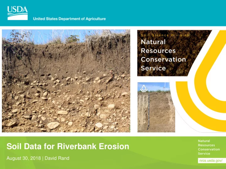
Soil Data for Riverbank Erosion
August 30, 2018 | David Rand
S o i l S c i e n c e D i v i s i o n
Soil Data for Riverbank Erosion August 30, 2018 | David Rand What - - PowerPoint PPT Presentation
S o i l S c i e n c e D i v i s i o n Soil Data for Riverbank Erosion August 30, 2018 | David Rand What is SSURGO soil data? Soil materials and layers texture, rock fragments, depth, pH Site characteristics landform, slope,
S o i l S c i e n c e D i v i s i o n