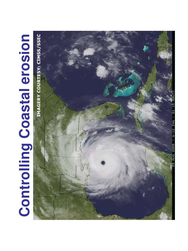
SLIDE 1
Controlling Coastal erosion
SLIDE 2
Coastal Erosion Rates in the U.S.
SLIDE 3 Coastal Erosion and Stabilization
Economic pressures demanding the “stabilization”
- f beaches and coastlines are immense
SLIDE 4
Coastal Erosion and Stabilization
There are three major approaches used by humans to try and solve the problem of coastline erosion Hard structural stabilization such as groins, jetties seawalls and breakwaters Soft structural stabilization such as beach nourishment Nonstructural strategies such as land-use restriction and zoning In the long run, only one of these approaches really works...
SLIDE 5
Hard Structural Stabilization
Federal, state and local governments have had long-term love affairs with groin, jetty, seawall and breakwater structures
SLIDE 6
Groins
Groins are impermeable structures that extend, fingerlike, perpendicularly from the shore Usually constructed in groups called groin fields, their primary purpose is to trap and retain sand, nourishing the beach between each groin They are most effective where the longshore current is predominantly in one direction, and where their action will not cause unacceptable erosion of the downdrift shore
SLIDE 7
Groins
By disrupting the normal ocean current flow, the physical shape of the beach is changed The common result is that a formerly stable, straight shoreline develops an unnatural scalloped shape
SLIDE 8
Groins
Sand deposition is greatly increased on the up- current side of the groin Meanwhile on the down-current side of the groin, sand erosion is greatly increased
SLIDE 9 Groins
Erosion on the down- current side Deposition
current side
CURRENT DIRECTION
SLIDE 10 Jetties
A pair of jetties are used to stabilize the channel where harbors, rivers, lagoons and estuaries
For example, this allows boats and ships to safely enter the channel into a harbor In addition, jetties are used to protect and stabilize man-made constructions such docks, piers and other maritime works In Russia, jetties were used to create harbors in the land-locked Baltic Sea
SLIDE 11
Jetties
Harbors, rivers, lagoons and estuaries typically have entrances that migrate through time A pair of jetties are constructed to try and stabilize the entrance
SLIDE 12
Jetties
Sand flow at the Indian River inlet in Delaware was blocked by these jetties causing major erosion Sand has to be continuously piped across the inlet from the wide beach to the narrow one, to help reverse erosion
SLIDE 13
Seawalls
A seawall is a hard structure constructed on the inland part of a coast to reduce the effects of strong waves and to defend the coast around a town or harbor from erosion The walls can be sloping, vertical or curved to reflect wave power Seawalls are effective defenses in the short term, but may cause erosion in the long run
SLIDE 14
Seawalls
The backwash of the breaking waves cause the sand and sediments in front of the seawall to erode away
SLIDE 15
Seawalls
During high tides and storms, the waves break with their full energy directly onto the seawall
SLIDE 16 Pondicherry, India
On December 26, 2004, when towering waves
- f the 2004 Indian Ocean tsunami crashed
against India's south-eastern coastline killing thousands, the former French colonial enclave
- f Pondicherry (now Puducherry) escaped
unscathed
SLIDE 17
Pondicherry, India
During the city's nearly three centuries as a French colony, French engineers had constructed and a massive 1.25 mile long, 27 foot high stone seawall This seawall kept Pondicherry's historic center dry even though tsunami waves were 24 feet high
SLIDE 18
Breakwaters
Breakwaters are structures built parallel to a shoreline to protect an anchorage from the effects of weather and longshore drift
SLIDE 19 Breakwaters
Large breakwaters, such as this one in Portland, Oregon, provide safe haven in calm waters for
- cean going vessels even during storms
SLIDE 20
Mankind Against the Sea
Of course, in the battle by mankind to stabilize the coastline, they commonly use more than one type of hard structures, such as in Belgium where groins, seawalls, levees and pumping stations are employed to protect farmland
SLIDE 21
What do jetties, groins, seawalls, and breakwaters all have in common? They all increase erosion Therefore in the long run, they do not prevent a beach from eroding away...
Mankind Against the Sea
SLIDE 22
... but that has not stopped the wholesale construction of groins, jetties, seawalls and breakwaters all along the U.S. coastline
Mankind Against the Sea
SLIDE 23
Soft Structure Stabilization
Beach Nourishment is the addition of sand and sediment to a beach to replace sand and sediment that has been eroded away It involves the transport of the “nourishment material” from one area to the affected area Of course, beaches sands and sediments are not living entities and do not require “nourishment”
SLIDE 24
Beach Nourishment
Advantages... Beach nourishment restores and widens the recreational beach Structures behind the beach are better protected as long as the added sand remains When erosion continues, beach nourishment does not leave hazards on the beach or in the surf zone
SLIDE 25
Beach Nourishment
Disadvantages... This is a very expensive process, costing over one million dollars per mile of beach Miami Beach holds the expense record of 17.5 million dollars per mile of beach
SLIDE 26
Beach Nourishment
The beach is turned into a construction zone during nourishment for months
SLIDE 27 The replacement sand added to the beach is
- ften different from the natural beach sand.
This means that the new material may have smaller or larger diameter sand grains than the natural beach Such differences in "grain-size" affect the way waves interact with a beach and causes a significant change the shape of the beach You can always tell when you are on a man- made beach
Beach Nourishment
SLIDE 28
Beach Nourishment
Beach nourishment sand usually erodes faster than the natural sand on the beach A good rule of thumb is that nourished beaches erode two or three times faster than natural beaches
SLIDE 29 Beach Nourishment
The replacement sand is usually dredged up
- ffshore and transported to the beach
Offshore “sand” is almost always much finer grained and muddier, therefore it erodes very quickly
SLIDE 30
Beach Nourishment
The beach at Ocean City, New Jersey was renourished 22 times in 43 years at a cost to the U.S. tax payers of $63 million One Ocean City renourishment project was completely eroded away in 2 months
SLIDE 31
Beach Nourishment
The dredging associated with beach nourishment destroys, damages or otherwise hurts marine and beach life The increased erosion muddies the water along the coast
SLIDE 32
Beach Nourishment
Biscayne National Park was seriously polluted by the Dade County beach nourishment
SLIDE 33
Nonstructural Strategies
Coastlines are dynamic, high energy environments where waves, storms and time always cause change Both hard and soft structural stabilization, in the long run, require increased expenditure for fleeting gains Nonstructural strategies such as land-use restrictions, prohibiting development and mandating minimum setback from the coast are the only way to minimize property damage Such strategies are bitterly opposed by most local authorities
SLIDE 34
Unstable Coastal Environments
All coastal environments are unstable and change over time Two coastal environments, barrier islands and estuaries are very vulnerable to natural forces and human interference
SLIDE 35
Migrating barrier island, Cape Cod, Massachusetts
Barrier Islands
SLIDE 36
Historical changes in barrier islands in the Cape Cod region: 1830-1987
Barrier Islands
SLIDE 37 An example of how even a near miss can significantly change barrier islands A storm surge caused by Hurricane Fran in 1996 damaged and destroyed these home
Fran never actually came ashore
Barrier Islands
SLIDE 38
Bertha 7/16/1996 Fran 9/7/1996 Bonnie 8/28/1998 After the passage of three hurricanes in a two year time span, this hotel has lost most of the beach front Notice the small concrete seawall built to “protect” the hotel from the inlet
Barrier Islands
SLIDE 39
The famous Cape Hatteras Lighthouse was built in 1869 It was situated inland, safe from the Atlantic Ocean It is the tallest lighthouse in the U.S. at 208 feet The only way to the top are 268 steps
Barrier Islands
SLIDE 40
By the 1980s, it became obvious that beach erosion would eventually claim the lighthouse
Barrier Islands
SLIDE 41
So in 1999, after two decades of debate, the lighthouse was moved 2900 feet inland A few week after the move was completed, Hurricane Dennis smashed into the Outer Banks
Barrier Islands
SLIDE 42 An estuary is a body of water along a coastline,
- pen to the sea, in which the tides rise and fall
and in which fresh and salt water mix
Estuaries
SLIDE 43 The complex community of plants and both marine and land animals that live is estuaries have adopted to the ever-changing environment
The is a delicate community, which is very vulnerable to pollution Because water circulation is very limited, pollutants can accumulate The greatest threat to estuaries is mankind
Estuaries
SLIDE 44
Where land is at a premium, estuaries are commonly filled in to create new land
Estuaries
Or fresh water is diverted
SLIDE 45
Map showing the river drainage basins that feed into major coastal estuaries in the U.S.
Estuaries
SLIDE 46
One of the most ambitious projects involving reclaiming land from the sea involves the Zuider Zee in the Netherlands
Zuider Zee
SLIDE 47
The Zuider Zee formed in 1282 when a sandbar was breached by a disastrous flood
Zuider Zee
SLIDE 48
Ocean water poured into an existing lake and flooded 5,000 square kilometers, creating an estuary that extended about 100 kilometers inland with an average depth of 4 to 5 meters
Zuider Zee
SLIDE 49
Two centuries later, with a growing population demanding more farmland, the Dutch began to reclaim the land from the sea
Zuider Zee
The estuary was dammed up Fresh water continued to flow into the Zuider Zee and gradually changed the water from brackish to relatively fresh
SLIDE 50 Portions were filled in to create dry land, while
- ther areas, called “polders”, were isolated by
dikes and pumped dry
Zuider Zee
More than a half million acres of new farmland have been created
SLIDE 51
The 32 kilometer long “Afsluitdijk” (closure dike) separates the reclaimed land from the North Sea
Zuider Zee
SLIDE 52
How to Create a Hurricane
Temperature Rapid cooling High humidity Low wind shear Location, location, location Disturbed weather There are 6 major factors that help generate a hurricane:
SLIDE 53
How to Create a Hurricane
In most situations, water temperatures of at least 26.5 °C (79.7 °F) are needed down to a depth of at least 50 meters (160 ft) Waters of this temperature cause the overlying atmosphere to be unstable enough to sustain convection and thunderstorms
SLIDE 54
How to Create a Hurricane
An important factor is rapid cooling with height, which allows the release of the heat of condensation that powers a tropical cyclone The heat of condensation is the energy required to transform a given quantity of a substance (water) into a gas (water vapor)
SLIDE 55 How to Create a Hurricane
High humidity is needed, especially in the lower-to-mid troposphere of the atmosphere When there is a significant amount
atmosphere, conditions are more favorable for disturbances to develop
SLIDE 56
How to Create a Hurricane
Low amounts of wind shear are needed, as high shear is disruptive to the storm's circulation Wind shear is a difference in wind speed and direction over a relatively short distance in the atmosphere Red indicates areas with very low wind shear
SLIDE 57
How to Create a Hurricane
Tropical cyclones generally need to form more than 555 kilometers (345 miles) or 5 degrees of latitude away from the equator, allowing the Coriolis effect to deflect winds blowing towards the low pressure center and creating a circulation
SLIDE 58
How to Create a Hurricane
Because the Earth rotates, the Coriolis effect causes winds and water currents to flow to the west near the equator This effect is responsible for the rotation of large tropical storms (hurricanes, typhoons & cyclones)
SLIDE 59 How to Create a Hurricane
A formative hurricane needs a pre-existing system
A tropical depression becomes a tropical storm and finally a hurricane
SLIDE 60
How to Create a Hurricane
The current geology and geography of Africa, the Atlantic Ocean, the Caribbean and the Gulf of Mexico are perfect to create dangerous hurricanes
SLIDE 61
How to Create a Hurricane
From June to October, hot, dry atmospheric depressions blow to the west off of the Sahara and rapidly pick up evaporating water
SLIDE 62
How to Create a Hurricane
Atlantic hurricane tracks from 1985 to 2005