
SLIDE 1
Erosion and Deposition From Washes to Canyons at Parashant - - PowerPoint PPT Presentation
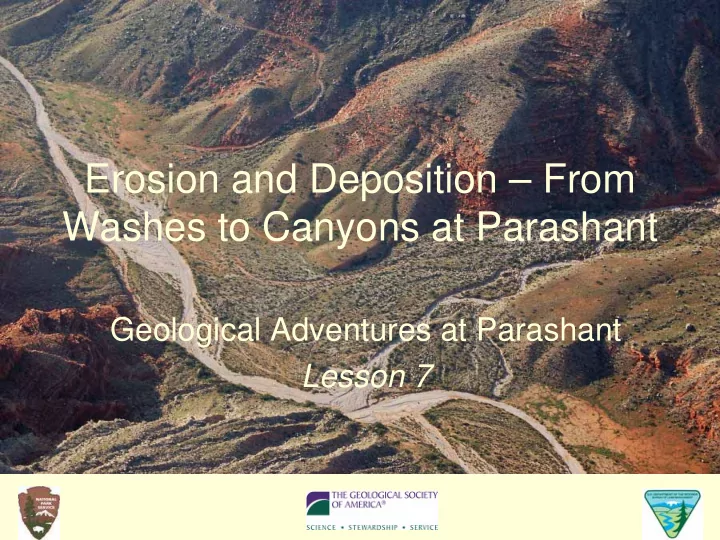
Erosion and Deposition From Washes to Canyons at Parashant Geological Adventures at Parashant Lesson 7 Objectives Running water orients clasts in streams in ways that enable us to reconstruct the directions of ancient stream flow;
FIGURE 1 Sample interpretation of clast orientation for 20 clasts in a wash deposit exposed at Whitmore Wash. All 20 clasts are oriented with the high end pointing to the left.
FIGURE 2 Sample interpretation of Worksheet 7.3 - Wash Rocks Upper Left.
FIGURE 7.1 Diagram of two rocks on the bottom of a wash. The dashed line is level of water during a thunderstorm.
Water flow direction A Sediment B
FIGURE 7.2 Rocks exposed in Whitmore Wash at
Worksheet 7.1.
FIGURE 7.3 This large block of limestone has paused temporarily on its trip downhill under the force of gravity.
FIGURE 7.4 Wind erosion removes finer particles of sediment, leaving a coarse-grained desert pavement behind.
FIGURE 7.5 Canyon forming north of Parashant. Down slope is to the lower right. Note how the canyon becomes wider and deeper
channel.
FIGURE 7.6 Alluvium covers the slopes along the Grand Wash Cliffs at Parashant to the point where little of the sedimentary rock layers are visible.
FIGURE 7.8 Chemical weathering gives the Navajo Sandstone at Parashant its red color. Mechanical weathering disintegrates it into sand, seen at the base of the outcrop.
FIGURE 7.9 The person who photographed this flash flood in the Grand Wash at Parashant noted hearing sounds made by boulders tumbling in the water.
FIGURE 7.10 Clasts in an ancient conglomerate. Penny for scale.