
SLIDE 1
Topography Landforms of Parashant Geological Adventures at - - PowerPoint PPT Presentation
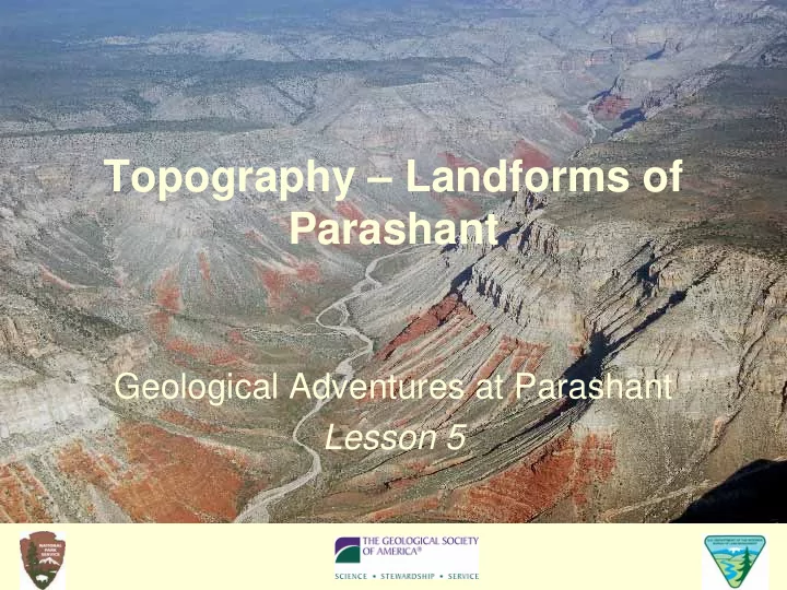
Topography Landforms of Parashant Geological Adventures at Parashant Lesson 5 Objectives Contour maps and topographic maps are models of the Earths landscapes How to read a topographic map and draw a topographic profile
Figure 1 Materials used in Part A of the lesson. Clay used in earlier lessons has been reshaped into a volcanic cone.
Figure 2 Side view of container with model and numbered cm marks.
Figure 3 Model with contour lines drawn on transparency atop the container.
Figure 4 Two examples of contour maps constructed from clay models in water.
Figure 5 A strip of paper laid along the line that connects points A and B is marked with elevations from the contour map. The strip is used to make a profile (see Figure 6).
Figure 6 Tape the paper strip with contour values to graph paper as shown. With a ruler, draw a horizontal line between points A and B and then the two vertical axes. Transfer the contour values to the graph paper as dots. Finally, connect the dots with a smooth line.
FIGURE 5.7. Part of a topographic map at
towards the top.
Profiles for Map A (Little Springs) and Map B (Grand Wash Cliffs)
Profiles for Map C (Shivwits Plateau) and Map D (Parashant Canyon)
FIGURE 5.1. Map of a landscape feature at
FIGURE 5.2 Clay model of a volcano in a transparent container.
FIGURE 5.3 Write values for contour lines parallel to the lines. FIGURE 5.4 Sample contour map.
FIGURE 5.5. Tape a strip of paper to your contour map as shown. Mark the locations of A and B on the strip. Then mark and write down the value of each contour line that crosses the strip.
FIGURE 5.6. Earth's internal heat drove two factors that control landform development: the uplift of mountains (background) and the eruption of lava (dark rock in foreground).
Description Photograph Topographic Map Cinder cone – Large hill several hundred feet high atop plateaus at
lava, cinders, and ash. The most recent eruption occurred less than 1000 years ago. Butte – A hill that rises abruptly from the surrounding area and which has sloping sides and a flat top. Tops of buttes at Parashant are often capped by resistant sedimentary rock or basalt lava.
Description Photograph Topographic Map Canyon – Deep gorges that cut into plateaus. Many canyons at Parashant are lined with washes and lead into the Colorado River in the Grand Canyon. Cliff – High, steep, overhanging face of rock. The large cliffs at or near Parashant like the Hurricane Cliffs shown here and the Grand Wash Cliffs form along faults. Locally, cliffs are often made of sedimentary rock that is resistant to weathering. Wash – The dry bed of a stream that flows only after heavy rains. Often found in the bottom of a
with gravel and sand. Parashant has dozens of washes, but no streams.
FIGURE 5.7. Part of a topographic map at
towards the top.