SLIDE 1
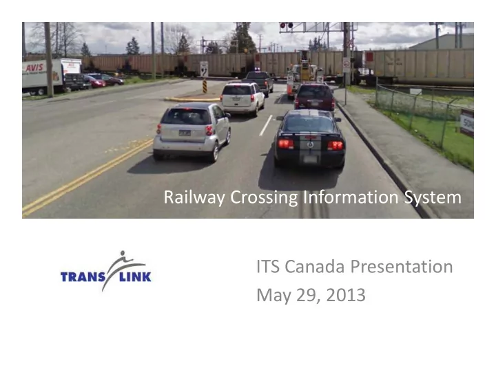
Railway Crossing Information System Railway Crossing Information System ITS Canada Presentation May 29, 2013
SLIDE 2
Agenda
Project Scope Problem Statements - Rail Operation & Traffic Impact Concept of Operations Detection Technology Testing Detection Technology Testing Motorist Advisory Sign Design Human Factors Analysis Design Challenges Status
SLIDE 3
Project Scope
Roberts Bank Rail Corridor Program – $307 Millions that includes: 4 new overpasses being built 4 major at-grade crossings affected 8 train detectors 9 advisory signs 9 advisory signs Central control system Four agencies involved: City of Langley Township of Langley Surrey Ministry of Transportation
SLIDE 4
Problem Statements - Rail Operation
Average train length = 2,200m (7,200’) Max train speed = 56km/h (35 mph) [16m/s] Corridor length = 4.4 km Average rail transits through corridor = 22/day
Approximately 1 event/hr, 6:00am – 6:00pm Approximately 1 event/hr, 6:00am – 6:00pm
Based on RBRC study, by 2021
Train length predicted to increase approx. 10% Number of transits predicted to increase by 40%
SLIDE 5
Problem Statement - Traffic Impact
Based on 200th St traffic signal pre-emption data
Crossing occupied between 1-4 minutes
Significant queuing can occur at all crossings, with 200th St. southbound often the worst Can take 10 minutes or more to clear the resultant Can take 10 minutes or more to clear the resultant queues and congestion City of Langley’s rule of thumb – 5:1 ratio
3 minute blockage = 15 minutes of congestion/disruption
SLIDE 6
Key Plan
SLIDE 7
Sign Location Analysis
Conceptual design looked at travel times and route diversion options VISSUM macro-simulation model to assess diversion potential
SLIDE 8
Sign Location Analysis
Sign locations re-evaluated during design phase to assess cost-benefit, develop optional strategy in response to budget constraints
SLIDE 9
Concept of Operations
Train detected as it approaches crossings & tracked within the corridor Train data transmitted to Central Control System Central System predicts time of arrival Central System predicts time of arrival & blockage at crossing Crossing status information transmitted to Motorist Advisory Signs Motorists’ decision for diversion
SLIDE 10
Concept of Operations
Train detection
Detectors located along RBRC corridor Detect train speed, direction, and length Positioned in advance of crossings to provide sufficient notification, taking into account train sufficient notification, taking into account train lengths and advance notification to users of pending closures Located off rail ROW
SLIDE 11
Concept of Operations
Predictive Algorithm
Train movement tracked along corridor Based on train speed, direction, and length data, the following are calculated: Train arrival time at each crossing Train arrival time at each crossing Estimated crossing blockage duration Train position confirmed using: Mid-corridor train detectors Crossing pre-emption signals, where available
SLIDE 12 Concept of Operations
Sign Activation
Motorist advisory signs activated to provide notification to drivers Temporary turn restriction signs activated as part
- f the applicable rail event (by rail pre-emption)
- f the applicable rail event (by rail pre-emption)
Status of signs set based on data provided by detectors and calculated by algorithm Status of signs updated at regular intervals, based
- n progression of train along corridor
SLIDE 13
Concept of Operations
SLIDE 14
Concept of Operations
Driver Diversion
Drivers respond to sign status information and make appropriate route decisions Appropriate messaging content is critical to guiding driver behavior guiding driver behavior 10% diversion required to achieve minimum project cost-benefit ratio threshold of 1.4
SLIDE 15
Concept of Operations
Central Control System
Key functionality:
control NTCIP signs interface with traffic detectors and field controllers controllers log and export train data integrate with the ATMS robust, mature, and reliable platform predict train arrival & blockage time at crossing
SLIDE 16
Train Detector Testing
Accurate and reliable train detection information is pivotal for project operation A number of candidate technologies were investigated during the preliminary design phase investigated during the preliminary design phase Pilot test was recommended due to unknown performance of candidate technologies when used for train detection
SLIDE 17
Train Detector Testing
The primary objectives of the pilot test were:
Confirm the feasibility of implementing a train detection system that will satisfy the RCIS requirements Evaluate the performance of candidate detection technologies and Evaluate the performance of candidate detection technologies and create a short list of recommended options Identify any site characteristics that can be used to better inform the detailed design
SLIDE 18 Train Detector Testing
Most trains were long intermodal trains but there were also
- ccasionally short trains that were only a few locomotives long
Identifies the need to detect shorter trains and treat them differently in system design
Some trains contained a large number of empty double-stack train cars
Chosen detection technology must be capable of detecting the low profile of Chosen detection technology must be capable of detecting the low profile of these train cars
Trains do not maintain a constant speed during their travel and may accelerate or decelerate significantly
Continuous monitoring of train velocity may be required
SLIDE 19
Train Detector Testing
Sensors installed as part of the pilot test:
One (1) Axis P1346-E Fixed IP Day/Night Video Camera One (1) Axis Q1921-E Fixed IP Thermal Video Camera Two (2) Seco-Larm E-931-S35RRQ Photoelectric Beam Sensors Two (2) Seco-Larm E-931-S35RRQ Photoelectric Beam Sensors One (1) Banner Engineering R-GAGE QT50RAF-US Radar One (1) Autoscope Solo Terra Video Detection System One (1) Wavetronix SmartSensor HD Radar Sensor
SLIDE 20 Train Detector Testing
manufacturer to refine radar sensor detection area
- 2. Results show
- 2. Results show
improved detection accuracy and reliability
SLIDE 21
Train Detector Testing
Radar detector configuration has proven to reliably detect trains System will use two pairs of radar units per TD Approximate accuracy is as follows:
Presence: near 100% Presence: near 100% Speed: +/- 3-9% Direction: near 100% Length: +/- 3-9%
SLIDE 22
Motorist Advisory Sign Design
Message purpose Notify drivers of rail crossing status to inform route choice Trade-offs Increased sign intelligence = larger sign structure Increased sign intelligence = larger sign structure and higher cost Increased message complexity = increase in time to comprehend
SLIDE 23 Motorist Advisory Sign Design
Sign Options
Option 2b:
Option 3***:
SLIDE 24
Motorist Advisory Sign Design
Motorist Advisory Signs
Static and dynamic graphical elements All signs will display 3 crossings, except Sign #1 Crossing order is specific to the sign location
SLIDE 25
Human Factors Analysis Results
Summary of Findings
Minor changes to sign face layout Several sign locations adjusted
SLIDE 26
Human Factors Analysis Results
Vertically stacked crossing names Crossing names centered above status 26 Vertical dividers between status readings Horizontal divider between status readings and train 50% reduction in the number of chevrons
SLIDE 27
Comprehension Test Results
High percentage of comprehension (82% to 93%) suggests signs are likely very effective at letting drivers know if the crossing ahead is open or closed. At least 50% of drivers who had never detoured in the past said they are more likely to detour. the past said they are more likely to detour.
SLIDE 28
Motorist Advisory Sign Design
Sign Design Evolution:
SLIDE 29
Sign Rendering - MAS03
SLIDE 30
Sign Rendering - MAS04
SLIDE 31
Sign Rendering- MAS05
SLIDE 32
Design Challenges
Detector technology
Unique requirements necessitated extensive research and field testing
Budget constraints
Necessitated prioritization of signs Necessitated prioritization of signs
Construction in an evolving urban environment
Utility conflicts Property constraints Sign impact to adjacent residential dwellings Future road widening
SLIDE 33
Status
Design substantially complete Working with stakeholders to finalize agreements and permitting RFP process to commence this Summer Project completion date: Q1/Q2 of 2014 Project completion date: Q1/Q2 of 2014