
SLIDE 1
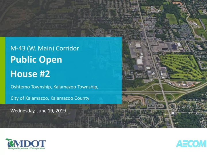
Wednesday, June 19, 2019
Public Open House #2
M-43 (W. Main) Corridor
Oshtemo Township, Kalamazoo Township, City of Kalamazoo, Kalamazoo County
Public Open House #2 Oshtemo Township, Kalamazoo Township, City of - - PowerPoint PPT Presentation
M-43 (W. Main) Corridor Public Open House #2 Oshtemo Township, Kalamazoo Township, City of Kalamazoo, Kalamazoo County Wednesday, June 19, 2019 Why are we here? MDOT initiated a study of the M-43 (W. Main) corridor from 9 th Street to
Wednesday, June 19, 2019
Oshtemo Township, Kalamazoo Township, City of Kalamazoo, Kalamazoo County
M-43 (W. Main) Corridor Analysis Study 2
M-43 (W. Main) Corridor Analysis Study 3
M-43 (W. Main) Corridor Analysis Study 4
5,000 10,000 15,000 20,000 25,000 30,000 35,000 40,000 2008 2018 2028 2038
M-43 Average Daily Traffic (ADT)
Projected Projected
M-43 (W. Main) Corridor Analysis Study 5
Crashes at M-43/Drake Road
M-43 (W. Main) Corridor Analysis Study 6
Crashes on M-43 from Maple Hill Drive to Mall Drive
M-43 (W. Main) Corridor Analysis Study 7
M-43 (W. Main) Corridor Analysis Study 8
M-43 (W. Main) Corridor Analysis Study 9
M-43 (W. Main) Corridor Analysis Study 10
M-43 (W. Main) Corridor Analysis Study 11
M-43 (W. Main) Corridor Analysis Study 12
M-43 (W. Main) Corridor Analysis Study 13
M-43 (W. Main) Corridor Analysis Study 14
M-43 (W. Main) Corridor Analysis Study 15
M-43 (W. Main) Corridor Analysis Study 16
Michigan Department of Transportation Kalamazoo Transportation Service Center 5372 S. 9th Street Kalamazoo, MI 49009 PH: 269-375-8900
M-43 (W. Main) Corridor Analysis Study 17
Michigan Department of Transportation Traffic Signal Operations 6333 Lansing Road Lansing, MI 48917 PH: 517-636-5421 adelmand@michigan.gov