
SLIDE 1
Pensacola Bay Living Shoreline Project Community Meeting PENSACOLA, - - PowerPoint PPT Presentation
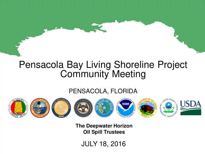
Pensacola Bay Living Shoreline Project Community Meeting PENSACOLA, FLORIDA The Deepwater Horizon Oil Spill Trustees JULY 18, 2016 Largest offshore oil spill in our nations history. More than 1,300 miles of shoreline fouled by
Sanders Beach Survey PGS II Survey
Geotechnical Boring Locations
Sanders Beach Project GreenShores II