
SLIDE 1
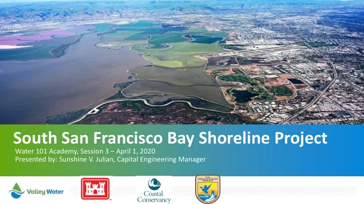
South San Francisco Bay Shoreline Project
Water 101 Academy, Session 3 – April 1, 2020 Presented by: Sunshine V. Julian, Capital Engineering Manager
South San Francisco Bay Shoreline Project Water 101 Academy, Session - - PowerPoint PPT Presentation
South San Francisco Bay Shoreline Project Water 101 Academy, Session 3 April 1, 2020 Presented by: Sunshine V. Julian, Capital Engineering Manager 2 Agenda Shoreline Phase I Authorized Project B v a l l e y w a t e r. o r g
Water 101 Academy, Session 3 – April 1, 2020 Presented by: Sunshine V. Julian, Capital Engineering Manager
v a l l e y w a t e r. o r g
B
Alviso Post Office, 1983
v a l l e y w a t e r. o r g
v a l l e y w a t e r. o r g
AL VISO WAST E WAT E R F ACIL IT Y
L E VE E
E c otone (tr ansitional habitat) T idal Habitat Re stor ation Union Pac ific Railr
1
Ar te sian Slough Cr
N
T IE S INT O ACCRE DIT E D L E VE E T IE S INT O ACCRE DIT E D L E VE E ADVANCE D WAT E R PURIF ICAT ION CE NT E R A18 A12 A13 A15 A14 A11 A9 A10
ML L W MT L MHW MHHW
NOT T O SCAL EL e ve e
2
E c otone
1 2
v a l l e y w a t e r. o r g
COMME RCIAL / INDUST RIAL MANUF ACT URING MOBIL E HOMEPARK HIGH T E CH/ R&D BUIL DINGS MOBIL E HOMEPARK SINGL E F AMIL Y/ MUL T I- F AMIL Y R E SIDE NT IAL SINGL E
AMIL Y RE SIDE NT IAL COMME RCIAL / INDUST RIAL L IBRARY Inte r me diate SL C Sc e nar io Inundation Map (YR50- 11.6ft NAVD88)
A18 A12
SR237
A16
ADVANCE D WAT E R PURIF ICAT ION CE NT E R WAST E WAT E R F ACIL IT Y F IREDE PART ME NT CHUR CH
E L ME NT ARY SCHOOL
v a l l e y w a t e r. o r g
10
Photo by Judy Irving, Pelican Media
v a l l e y w a t e r. o r g
Upland Grassland Shallow Subtidal Sea Level Rise of 2.59 feet Projection for 2067 Intertidal Mudflat Existing Berm Low Marsh Middle Marsh High Marsh Low Marsh Middle Marsh High Marsh Intertidal Mudflat
15.2 feet high
9
Existing Pond Engineered Levee 16 foot top width 3:1 Side Slope
A12 A18 A9 A10 A11 A14 A15 A13 Reach 1 Reaches 2 & 3
First Phase Second Phase Third Phase
Alviso Wastewater Facility Reach 4 Reach 5
First Phase (2019-2023) Second Phase (2027) Third Phase (2032)
v a l l e y w a t e r. o r g
v a l l e y w a t e r. o r g
New Chicago Marsh, Alviso. Photo credit: Cris Benton