Merton Planning Study Open House May 15 and 16, 2013 7 9 p.m. - - PowerPoint PPT Presentation

merton planning study
SMART_READER_LITE
LIVE PREVIEW

Merton Planning Study Open House May 15 and 16, 2013 7 9 p.m. - - PowerPoint PPT Presentation

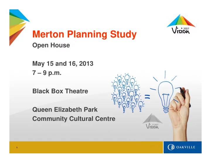
Merton Planning Study Open House May 15 and 16, 2013 7 9 p.m. Black Box Theatre Queen Elizabeth Park Community Cultural Centre 1 Merton Planning Study Agenda for Tonight: 7:00 Doors Open 7:15 Presentation Study Overview


slide-1
SLIDE 1

1

Merton Planning Study

Open House May 15 and 16, 2013 7 – 9 p.m. Black Box Theatre Queen Elizabeth Park Community Cultural Centre

slide-2
SLIDE 2

2

Merton Planning Study

Agenda for Tonight: 7:00 – Doors Open 7:15 – Presentation

  • Study Overview
  • Study Area Analysis
  • Draft Options
  • Receive Input

7:45 – Questions and Answers 8:15 – Open House

slide-3
SLIDE 3

3

Study Area Air Photo

slide-4
SLIDE 4

4

Study Overview

  • History of the Merton Lands

– Settled in 1812 by Ed Wrench from Merton, England – Blacksmith, two schools, church, post office, farming

  • Lands are identified in the Livable Oakville Plan:

– Special Policy Area for potential future development – Comprehensive study to determine future land uses

  • Merton Planning Study initiated November 12, 2012:

– Technical Studies – Tertiary Plan – Peer Review – Applications and Approvals = Town Initiated OPA

slide-5
SLIDE 5

5

Study Overview

  • Terms of Reference

– Establishes scope and level of technical analysis

  • Technical Studies

– Technical work by landowners consultants – Reports are extensive and include:

  • Environmental Impact Study, Area Servicing Plan, Functional

Servicing Study, Transportation Study, Stage 1 Archeological Assessment, Noise and Odour Studies

  • Tertiary Plan

– Will be implemented first through proposed amendment(s) to the Livable Oakville Plan and later through individual development applications for zoning and draft plan of subdivision approvals.

  • Peer Review

– Assess the studies to ensure the town, Region of Halton and Conservation Halton requirements are met.

slide-6
SLIDE 6

6

Study Area Land Owner Map

slide-7
SLIDE 7

7

Study Objectives

  • Preserve, enhance and protect the town’s & region’s environmental

features, biological communities, wildlife corridors, and natural heritage system, and review connecting E-W corridors between ESA 10 and 12.

  • Provide complete and sustainable communities with enhanced urban

design, required community facilities and parkland

  • Determine appropriate integration and connection of new development,
  • Maintain a strong employment corridor along the QEW
  • Recognize the role and function of Bronte Road as a Major Arterial;
  • Protect cultural heritage resources
  • Protect all natural hazards through policy and / or dedication to the

municipality, and protect new and existing infrastructure

slide-8
SLIDE 8

8

  • Provide a safe, efficient and accessible transportation system with

choices in mobility to accommodate new growth

  • Provide cost-effective and coordinated infrastructure investment for new

growth

  • Optimize use of existing infrastructure and public service facilities
  • Establish targets with respect to water quality parameters including the

thermal regime for stormwater management effluents

  • Demonstrate a net benefit to the significant population of Redside Dace

within the Study Area.

Study Objectives

slide-9
SLIDE 9

9

Study Process

slide-10
SLIDE 10

10

2006 Regional Official Plan - Map 1

slide-11
SLIDE 11

11

Regional Official Plan Amendment - No. 38

slide-12
SLIDE 12

12

Livable Oakville Plan - Schedule H Land Use

slide-13
SLIDE 13

13

Livable Oakville Plan - Schedule B, Natural Features & Hazard Lands

slide-14
SLIDE 14

14

Livable Oakville Plan - Schedules B & H combined

slide-15
SLIDE 15

15

Legend

Opportunities & Constraints

North Service Road West

Queen Elizabeth Way – Hwy 403

Bronte Creek Bronte Creek Provincial Park Fourteen Mile Creek

Langtry Park Region of Halton Offices Wastewater Treatment Plant

Upper Middle Road West

slide-16
SLIDE 16

16

Analysis of Environmental Features

The study of the environmental features within the Merton Tertiary Plan is comprised of the analysis of the following natural elements and their corresponding regulated setbacks:

slide-17
SLIDE 17

17

North Service Road West

Queen Elizabeth Way – Hwy 403

Bronte Creek Bronte Creek Provincial Park Fourteen Mile Creek

Langtry Park Region of Halton Offices Wastewater Treatment Plant

Upper Middle Road West

Easements, Buffers, Transportation Network; & Servicing Infrastructure

Wastewater Treatment Plant Buffer (300m) Various Easements Intersection Spacing

Legend

300m aprox

slide-18
SLIDE 18

18

Formulating the Draft Options Mission Statement and Guiding Principles

  • Preserve and create a livable community
  • Provide choice throughout the Town
  • Achieve sustainability

Other Key Policies

  • Cultural heritage and urban design
  • Accessible community uses
  • Safe, efficient &integrated transportation
  • Development on full urban services
  • Land use designation, permitted uses

and other relevant policies

Workshops and Technical Review

  • Staff, Agency, Consultant, Landowner
  • Iterative – constraints and opportunities
slide-19
SLIDE 19

19

Draft Option A

slide-20
SLIDE 20

20

Draft Option B

slide-21
SLIDE 21

21

Draft Option C

slide-22
SLIDE 22

22

Next Steps

slide-23
SLIDE 23

23

Merton Planning Study

Questions & Answers