harbor drive multimodal
play

Harbor Drive Multimodal Corridor Study Larry Hofreiter Program - PowerPoint PPT Presentation

Harbor Drive Multimodal Corridor Study Larry Hofreiter Program Manager Planning & Green Port Stephen Shafer Principal, Economics & Policy Government & Civic Relations AB 617 Portside Community Steering Committee February 25,


  1. Harbor Drive Multimodal Corridor Study Larry Hofreiter Program Manager Planning & Green Port Stephen Shafer Principal, Economics & Policy Government & Civic Relations 
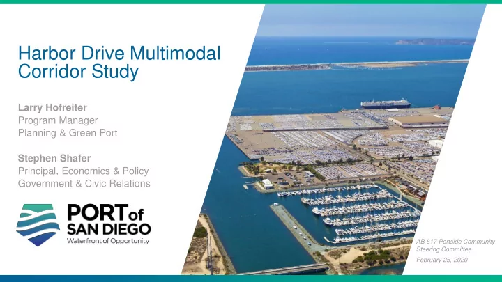
AB 617 Portside Community Steering Committee February 25, 2020

  2. Agenda 1.Study Purpose 2.Summary of Project Highlights 3.Next Steps 2 2 Harbor Drive South Multimodal Corridor Study

  3. Study Purpose Identify opportunities to improve mobility, safety and quality of life San Diego for everyone who lives, works or plays along Harbor Drive and in Coronado the surrounding communities near National City San Diego’s Working Waterfront. Study Area Chula Vista Port Tidelands Submerged Tidelands Imperial Beach New Submerged Tidelands 3

  4. Port Tidelands Jurisdiction Majority of Study Area is Outside Port Tidelands 4

  5. Agency Partners • 3 Full Technical Working Group (TWG) Meetings • Multiple 1-on-1 TWG Meetings • 2 Public Workshops • 3 Pop-Up Outreach Events 5

  6. Process & Timeline Spring-Summer 2018 Fall 2018 Spring/Summer 2019 Winter 2019 Key Challenges Existing Refined Final Plan & Potential Conditions Improvements Improvements • Issues & opportunities • Key challenges • Travel demand modeling • Stakeholder & public outreach (+workshop) • TWG #1 • Potential improvements • Refine final list of • Phasing & funding strategy improvements • Stakeholder & public • TWG #2 • Group into projects • Agency Input outreach • Final list of improvements • Evaluation • Stakeholder & public • TWG #3 outreach (challenges only) 6

  7. Goals & Performance Metrics GOAL PERFORMANCE METRICS • Quantitative reduction in pollution levels • Quantitative increase in bicycle, pedestrian and first/last mile connections, facilities, and amenities I. Improve Community Safety, Mobility & Health • Qualitative decrease in pedestrian and cyclist injuries • Quantitative vehicle miles traveled • Quantitative travel times, roadway level of service II. Improve Goods Movement • Qualitative roadway condition assessment • Quantitative vehicle miles traveled • Quantitative travel times, roadway levels of service III. Improve Naval Base Access & Circulation • Qualitative assessment of multimodal access • Optimize parking IV. Improve Shipyard Access & Parking • Qualitative assessment of multimodal access • V. Cost Effectiveness Quantitative capital cost 7

  8. Project Focus Areas • Alleviate truck traffic • Improve first/last mile access • • Improve first/last mile Address parking access to shipyards concerns • • Address parking • Reduce noise & GHG Improve first/last mile • emissions • Improve first/last mile Improve traffic flow • • Improve first/last mile • Improve Navy to/from interstate Improve first/last mile and National City • ingress/egress Improve Navy connectivity ingress/egress • Address parking 8

  9. Project Highlights • Harbor Drive 2.0 • TAMT Driveway Safety Evaluation • 28 th Street I-5 Access Improvements • Naval Base Access / Circulation Improvements • Truck Parking on Tidelands Ave 9

  10. First and Last Mile Opportunities  2% ↑ 5.2 miles ↑ 3.4 miles ↑ 3.4 miles Pedestrian Bicycle Bike & Ped 10

  11. Harbor Drive 2.0 A Smarter, Greener and Healthier Harbor Drive Connected Flexible Haul Road 11

  12. Existing Conditions 12

  13. North End Looking South 13

  14. Harbor Drive 2.0 Connected Flexible Haul Road 14

  15. Existing Conditions 15

  16. South End Looking South 16

  17. 2050 6 minutes Travel 22 minutes 19 minutes Time Savings AM Peak Hour 22 minutes 17

  18. Change in Annual CO, NOx and VOC emissions* (tons), 2050 vs. Project No Build Scenario  8.2 tons  9.8 tons  2% VMT  42.3 tons *Based on the total reduction (in tons) annualized from AM and PM peak hour travel time Carbon Monoxide (CO) Nitrogen Oxides (NOx) Volatile Oxygen Compounds analysis. Emissions Emissions (VOC) Emissions 18

  19. Change in Annual Fuel Consumption, CO 2 & Passenger Car Equivalents, 2050 vs. Project No Build Scenario 600,000 1,150 5,400 Gallons of fuel saved per year Passenger car equivalents Metric tons of CO2 emissions removed from the road a year saved yearly *Based on the total reduction annualized from AM and PM peak hour travel time analysis. 19

  20. Potential Engaged Partners Opportunities • Harbor Drive 2.0 • TAMT Driveway Safety Evaluation • 28 th Street I-5 Access Improvements • Naval Base Access / Circulation Improvements • Truck Parking on Tidelands Ave 20

  21. Recommended Action Receive staff’s presentation, accept the completed Harbor Drive Multimodal Corridor Study and direct staff to continue to collaborate with pertinent stakeholders and seek funding opportunities. 21

  22. Thank You portofsandiego.org/HarborDriveStudy

Download Presentation
Download Policy: The content available on the website is offered to you 'AS IS' for your personal information and use only. It cannot be commercialized, licensed, or distributed on other websites without prior consent from the author. To download a presentation, simply click this link. If you encounter any difficulties during the download process, it's possible that the publisher has removed the file from their server.

Recommend


More recommend