
SLIDE 1
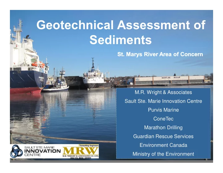
Geotechnical Assessment of Sediments
M.R. Wright & Associates Sault Ste. Marie Innovation Centre Purvis Marine ConeTec Marathon Drilling Guardian Rescue Services Environment Canada Ministry of the Environment M.R. Wright & Associates Sault Ste. Marie Innovation Centre Purvis Marine ConeTec Marathon Drilling Guardian Rescue Services Environment Canada Ministry of the Environment
- St. Marys River Area of Concern
- St. Marys River Area of Concern