Centennial 1917 - 2017 1 Naval Amphibious Base Traffic Concerns - - PowerPoint PPT Presentation

centennial
SMART_READER_LITE
LIVE PREVIEW

Centennial 1917 - 2017 1 Naval Amphibious Base Traffic Concerns - - PowerPoint PPT Presentation

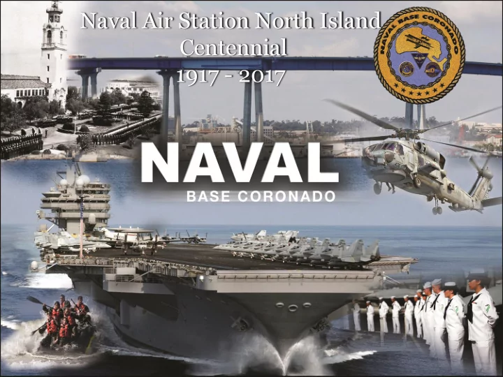
Naval Air Station North Island Centennial 1917 - 2017 1 Naval Amphibious Base Traffic Concerns on California State Route 75 (SR 75) No delays at Gates - Bay Side Three Entries North Bound - Two Entries South Bound -


slide-1
SLIDE 1

1

Naval Air Station North Island Centennial 1917 - 2017

slide-2
SLIDE 2

2

Naval Amphibious Base Traffic

  • Concerns on California State

Route 75 (SR 75)

  • No delays at Gates
  • Bay Side
  • Three Entries North Bound
  • Two Entries South Bound
  • Ocean Side
  • One Entry Point
  • Under design review to improve
  • Require Navy student crossings
  • Commuter Benefits Program
  • 3rd consecutive Diamond Award
  • Transportation Incentive

Program

  • SANDAG Vanpool Program

2

slide-3
SLIDE 3

3

Naval Air Station North Island Off Base Parking

  • Visitor Control Center
  • 203 total spaces
  • 145 available from 5 am to 9 pm
  • Remainder limited to waiting

zones, 30 minute parking, staff

  • No Decal Lot
  • 111 total spaces
  • 24 hour limit
  • Meets Demand Signal

3

Visitor Control Center No Decal Lot

slide-4
SLIDE 4

4

NASNI Operations and “Misconceptions”

slide-5
SLIDE 5

5

Conflicting Requests

“Our only request is for the Navy to return to the 1984 flight paths where most of the APZ crash-zone coverage is over the Pacific Ocean and not the people of Coronado” “Use of the Hotel Visual approach would change the flight path of H-60s away from the shoreline and residence, reducing noise and pollution and the serious concern of devastating accidents”

5

PAR Approaches Hotel Visual SURF Arrival/Departure BAY Arrival/Departure CHANNEL Arrival/Departure

slide-6
SLIDE 6

6

  • MYTH: The Navy moved the flight path much further inland in

2012 after the incorporation of the North Island Accident Potential Zone (APZ), creating a new APZ crash zone covering hundreds of residential homes, Hotel del Coronado, and thousands of tourist

  • n the beach
  • FACT: Flight paths have remained constant for over 20 years
  • Same general flight paths existed in 1984 that were studied in 2011
  • 2011 Air Installation Compatible Use Zone (AICUZ) studied Hotel

Visual Approach; 1984 AICUZ studied PAR 8 degree off set approach

  • 2011 AICUZ study accurately reflects air operations
  • AICUZ Study provides local communities with land use

recommendations; it DOES NOT drive changes to flight paths

6

Today’s APZ accurately informs the local community of the accident potential area(s)

Urban Myths Reviewed

slide-7
SLIDE 7

7

Urban Myths Reviewed

  • MYTH: H-60 are soon to exponentially increase and

are inherently dangerous

  • FACT: Growth of H-60 peaked in 2016 (203 H-60R/S)
  • FACT: Less than 10% of Navy aircraft mishaps involve

H-60s

  • FACT: There have been no reports of civilian property

damage or death/injuries from an H-60 arriving/departing Naval Air Station North Island

7

slide-8
SLIDE 8

8

Urban Myths Reviewed

  • MYTH: In 1996, when the H-60 was first

introduced to Naval Air Station North Island, it was a quiet S-3 fixed-wing airbase

  • FACT: H-60’s have operated at NASNI since 1983;
  • lder helicopters (H-2/3) have been operating

here since the 1970’s

8

slide-9
SLIDE 9

9

Urban Myths Reviewed

  • MYTH: The 2011 AICUZ Study Interfacility Flight

Route image shows the actual paths helicopter pilots should be flying; pilots are flying much wider

  • FACT: The AICUZ Study provides a general

representation of flight paths and does not take into consideration variables such as winds, weather, instrument variations, or other aircraft operating in the pattern

9

slide-10
SLIDE 10

10

Urban Myths Reviewed

  • MYTH: The Navy flies the Precision Approach

Radar Centerline vice the 8 degree offset

  • FACT: Navy uses the 8 degree offset provided

weather at Naval Air Station North Island is better than a 600 foot ceiling and/or 2 miles of visibility

10

slide-11
SLIDE 11

11

Urban Myths Reviewed

PAR 8 Degree Offset Hotel Visual PAR Center Line PAR 8 Degree Offset PAR Center Line

slide-12
SLIDE 12

12

Urban Myths Reviewed

  • MYTH: There are much safer, more environmentally-friendly, and

quieter alternatives than the flight paths currently being used by the Navy

  • FACT: The Precision Approach Radar (PAR) to Runway 29 is a safe

and efficient approach to Naval Air Station North Island, but is less than 12 percent of the total airfield operations

  • FACT: Instrument Flight Rule (IFR) approaches to Runway 36

conflicts with IFR operations at San Diego International; increased use of Runway 36 would result in significant delays to both Naval Air Station North Island and San Diego International

12

slide-13
SLIDE 13

13

Urban Myths Reviewed

  • MYTH: Navy helicopter are not using “Interfacility Flight Routes”

when flying from Imperial Beach to North Island

  • FACT: Helicopter pilots operating under Visual Flight Rules (VFR)

use the “Interfacility Flight Routes” when departing/arriving Naval Air Station North Island or Naval Outlying Landing Field Imperial Beach

  • FACT: There are many flight paths depicted that are not

associated with VFR flights between the two Navy fields

  • FACT: Helicopter pilots flying between the two Navy fields may

alter course to proceed to other training areas

13

slide-14
SLIDE 14

14

VFR Helicopter Routes

14

slide-15
SLIDE 15

15

Concessions Since 1971

  • Noise Abatement Procedures
  • Relocated Field Carrier Landing Practice (FCLP) to other bases
  • Created Runway 29 8-deg Offset PAR Approach
  • Established SURF Arrival & Visual Flight Rule (VFR) Initial Point SHARC to

reduce VFR traffic near the City

  • Restricted PAR practice approaches to tenant units only
  • Revised “Break” Procedures to shift away from the City of Coronado
  • Increased Noise Abatement Hours (engine run-ups times limited)
  • Added language to Flight Information Publication Area Planning and NASNI

Air Operations Manual stressing noise sensitivity

  • Liaised with FAA to route tactical jet arrivals to Runway 36, as practicable
  • Restricted (self imposed) VFR flights over the City of Coronado (including

Cays); NOT an FAA requirement

slide-16
SLIDE 16

16

Concessions Since 1971

  • Runway Use Programs (Wind / Weather Permitting)
  • Land RWY 29 / depart RWY 18: 0700 – 2200L (M – F); land

RWY 36 / depart RWY 18 all other times

  • No practice approaches to RWY 29 from 2200 – 0700L Monday

thru Friday or when weather is below 600/2

slide-17
SLIDE 17

17

Concerns or comments may be submitted by an electronic feedback form at: http://www.cnic.navy.mil/regions/cnrsw/installations/navbase _coronado/about/CommunityConcerns.html

  • r;

via the Naval Base Coronado Community Concerns Hot Line at (619)545-8847

Community Concerns Hot Line

17