
SLIDE 1
2 Overall Goal Geomorphology Studies Two studies Geomorphology - - PowerPoint PPT Presentation
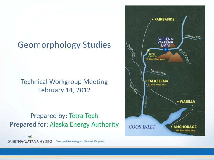
Geomorphology Studies Technical Workgroup Meeting February 14, 2012 Prepared by: Tetra Tech Prepared for: Alaska Energy Authority 2 Overall Goal Geomorphology Studies Two studies Geomorphology Study (RSP 6.5) Fluvial
2
3
– Evaluate current and historical aerial photography – Summarize and evaluate available physical data – Collect additional data to fill gaps in existing data and quantify changes from earlier data
4
5
6
7
– Provide cross section-based hydraulic conditions – Dynamically simulate aggradation/degradation & bed material trends
– Provide detailed hydraulic conditions at variable spatial resolution to support aquatic habitat and sediment transport analysis – Dynamically simulate detailed aggradation/degradation and bed material trends within Focus Areas
8
9
10
11
12
13
14
15
16
17
18
19
20