
SLIDE 1
04/11/2015 1
Rhino Oil & Gas Exploration South Africa (Pty) Ltd.
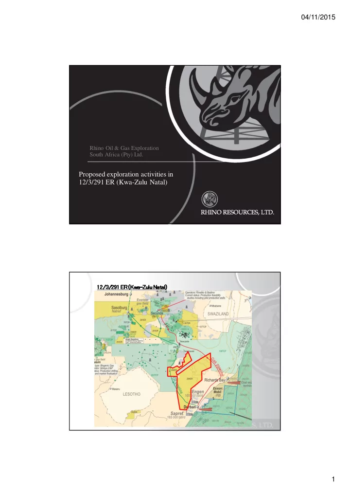
Proposed exploration activities in 12/3/291 ER (Kwa-Zulu Natal)
12/3/291 ER (Kwa 12/3/291 ER (Kwa 12/3/291 ER (Kwa 12/3/291 ER (Kwa-
- Zulu Natal)