
SLIDE 1
City of Beverly Waterfront Resiliency
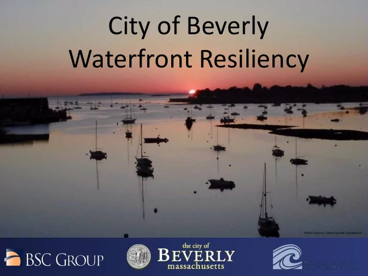
Photo Source: Salem Sound Coastwatch
Waterfront Resiliency Photo Source: Salem Sound Coastwatch - - PowerPoint PPT Presentation
City of Beverly Waterfront Resiliency Photo Source: Salem Sound Coastwatch Community Workshop #1 Agenda 6:30 PM Introduction to the Project Team & the Beverly Waterfront Resiliency Plan Project 6:50 PM Question & Answer Opportunity
Photo Source: Salem Sound Coastwatch
6:30 PM Introduction to the Project Team & the Beverly Waterfront Resiliency Plan Project 6:50 PM Question & Answer Opportunity 6:55 PM Community Workshop Stations 7:25 PM Brief Wrap Up/Next Steps
Massachusetts Office of Coastal Zone Management (CZM)
$119,985
Total Project Cost $89,981
Grant Amount
$30,004 (in services)
In Kind Match
1) Vulnerability and Risk Assessment 2) Public Education and Communication 3) Local Bylaws, Adaptation Plans, and Other Management Measures
Photo Source: Salem Sound Coastwatch
Rice Beach Lynch Park Bass River Boat Ramp
Photo Source: Salem Sound Coastwatch & Darlene Wynne
Source: US National Climate Assessment
Photo Source: Woods Hole Group
1. What is the probability of flooding? 2. What areas are vulnerable and at what depth?
setup, river discharge, sea level rise, future climate scenarios)
Beverly Harbor Chubbs Brook Beverly Cove Bass River Beverly Farms
Photo Sources: Salem Sound Coastwatch Wikimedia Commons MAPC Fletcher6 Beverly Health Dept.
beaches, etc.)
drain systems, sewer)
stations
Infrastructure
Photo Source: Salem Sound Coastwatch
Station 1
Chubbs Brook
Station 2
Beverly Farms
Station 3
Beverly Cove
Station 4
Beverly Harbor
Station 5
Bass River
Station 6
WHG - Modeling