
SLIDE 1
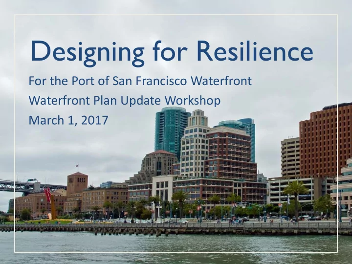
Designing for Resilience
For the Port of San Francisco Waterfront Waterfront Plan Update Workshop March 1, 2017
Designing for Resilience For the Port of San Francisco Waterfront - - PowerPoint PPT Presentation
Designing for Resilience For the Port of San Francisco Waterfront Waterfront Plan Update Workshop March 1, 2017 Presentation T opics Building the Seawall Earthquake Vulnerability Sea Level Rise & Flood Vulnerability Resilience Solution
For the Port of San Francisco Waterfront Waterfront Plan Update Workshop March 1, 2017
2
Building The Seawall
Fisherman’s Wharf Mission Creek
3
3 Miles 4 decades 500+ acres
4
Building The Seawall
5
6
Earthquake Vulnerability
Lateral Spreading Displacement, Inches M8.0 San Andreas (median) (approx. 20%/50yrs)
7
8
Sea Level Rise
+12 inches | 2030 High Scenario | 2050 Likely Scenario
BART/Muni Embarcadero Station Muni tunnel entrance between Howard & Folsom Finger Piers Flood Risk Moderate (25 Yr)
9
Sea Level Rise
+36 inches | 2067 High Scenario | 2100 Likely Scenario
Finger Piers Regular Flooding Regular Flooding on Embarcadero
10
Impacts - Damage
11
Impacts – Life Safety
Photo | Michael Macor
12
Seawall Improvement Locations
13
Seawall Improvement Locations
14
Seawall Improvement Locations
15
17
22
Photo | Michael Macor
25