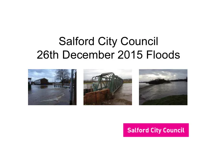
SLIDE 1
Salford City Council 26th December 2015 Floods
SLIDE 2 Sec 19 report
- Main source of flooding was River Irwell
- 8 Boroughs affected
- It was agreed that the EA would lead on a combined
report
- Salford provided a complementary document
SLIDE 3
Flood Risk
SLIDE 4 Context
- Flooding occurred in 8 Boroughs within GM (only
Stockport and Trafford avoided flooding)
- Weather forecasts predicted storm would affect
Lancashire and Cumbria
- Any prediction is accurate to within 50 miles
- Storm deviated to the south
SLIDE 5
Rainfall Radar
SLIDE 6 Rainfall Details
- 128mm of rain in 36hours
- Average annual rainfall approx 881mm
- The catchment was already wet
- Instead of some soakage into ground, water was running
- ff into the drainage system and subsequently the River
Network
SLIDE 7 Effects of the rainfall
- Result was increased flow (amount of water travelling
along the River Irwell)
- Increased water levels
- 37 of 44 river gauges (level sensors) recorded highest
ever levels
- Manchester Racecourse recorded a level 1.3m higher
than the 1946 Flood (previous record)
SLIDE 8
River Levels
SLIDE 9
River Levels
SLIDE 10
River Levels
SLIDE 11
1946 Flooding
SLIDE 12
1946 Flooding
SLIDE 13 Flood Defences in Salford
- Littleton Road Flood Basin
- River Wall Network
- Additional defences
– Castle Irwell Flood Basin (Reservoir Panel Engineer approval pending) – Demountable barriers to be placed in Heath Avenue have been investigated but found not feasible by the EA
SLIDE 14
Littleton Road Basin
SLIDE 15
Littleton Road Basin
SLIDE 16
Littleton Road Basin
River Irwell Flood Basin
SLIDE 17 Activation of Basin
- The EA attended the Flood Basin and confirmed
activation
- Calls to call centre from approximately 09:00 that the
Basin was receiving water (public and Councillor)
- 10:30 Forward Incident Officer (FIO) advised that flood
basin had been activated by City Mayor
- 11:30 FIO liaises with Environment Agency and
residents, opens Sports Village and secures basin
- 12:00 flooding started to occur
SLIDE 18
Heath Avenue
SLIDE 19
Heath Avenue
SLIDE 20
Lower Broughton: effected areas
SLIDE 21
Flood Risk
SLIDE 22
Salford Impact
– 698 properties flooded in total – 500 residential – 198 businesses – Loss of riverside paths and walkways and damage to river banks – Damage to road and pedestrian bridges – Clean up and removal of all waste material – Excessive debris on banks – Damage to Agecroft Cemetery – Debris within Salford Quays
SLIDE 23 Support to Residents
- Council Tax exemption for the period that they are
unable to occupy their homes
- £500 flood relief payment to each affected household
- Salford Distress Fund established by the City Mayor
- A Property Level Resilience Scheme is in place – £5,000
(home or business)
SLIDE 24 Support to Businesses
- Business Rate relief for the period that they were unable
to trade
- The Business Support Payment scheme is being co-
- rdinated by the GM Business Growth Hub and Salford
City Council
- Businesses can also apply for the Property Level
Resilience Scheme (£5,000)
SLIDE 25 EA Modelling Exercise
- Computer modelling exercise is being undertaken by the
EA
- Model will confirm the cause of the flooding
- Modelling results will be used to clarify the impact of the
almost complete Castle Irwell Basin
SLIDE 26
Castle Irwell Basin
SLIDE 27
Castle Irwell Basin
SLIDE 28 Castle Irwell Basin
- The basin is nearing completion and due to be
- perational once signed off by a Reservoir Panel
Engineer
- Physical works are complete, grass cover to banks is
required prior to sign off
- Basin will operate in a similar way to the Littleton Road
Basin, water will enter the basin during high level events
- Positive effect on future events
SLIDE 29
Flood Basins
Castle Irwell Basin Flood Basin
SLIDE 30 Issues Raised
- “It is possible to prevent flooding.”
- “Salford was allowed to flood to protect other places.”
- “The sluices on the Manchester Ship Canal were used to
hold water back to protect a COMAH (Control of Major Accident Hazards) Site in Trafford.”
- “There are sluice gates at Salford Quays which can be
closed to protect Media City”
SLIDE 31 Issues Raised
- “Something went wrong which caused the flooding.”
- “The river wall is defective/failed and that is what caused
the flooding”
- “Dredging of the River Irwell would have prevented
flooding”
- “New housing developments within Broughton, built on
raised ground levels increased the flooding to existing housing”
SLIDE 32 Issues Raised
- “The David Lewis playing fields should have flooded to
protect property but this did not happen”
- “Boulders have been dumped in the Irwell which had an
impact on the flooding”
SLIDE 33 Summary
- Flooding caused by heavy rain resulting in high flows
and high levels in the Irwell
- The water level was higher than the wall in Heath
Avenue and flowed over the wall
- The Littleton Road Basin prevented worse flooding
- The Castle Irwell Basin increases protection from
flooding
SLIDE 34 Summary
- Castle Irwell Basin will be operational soon
- Lower Broughton remains at risk of flooding
- Flood warning service is in existence
- Resilience funding has progressed significantly but is
- ngoing
- EA modelling awaited