SLIDE 1
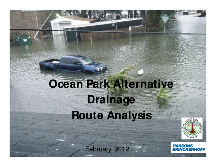
Ocean Park Alternative Ocean Park Alternative Drainage Drainage Route Analysis Route Analysis
February, 2012 February, 2012
SLIDE 2 Chesapeake Bay Bridge Tunnel NOAA Tide Gage
November 11 November 11 – – 14, 2009 14, 2009
Between 6 am to 4 pm the next day approximately 7.5 inches fell
SLIDE 3 Hurricane Irene
Chesapeake Bay Bridge Tunnel NOAA Tide Gage
Between 5 pm and 7 am, 3 inches of rain fell
SLIDE 4 Tidal Flood Frequency Curve based on FEM A Tidal Flood Frequency Curve based on FEM A Flood Insurance Study City of Virginia Beach Flood Insurance Study City of Virginia Beach (Revised M ay 4, 2009) (Revised M ay 4, 2009)
4.9’ 6.8’
SLIDE 5
Focus: Ocean Park South of Shore Drive
SLIDE 6 Some ground elevations in Ocean Park are BELOW 4 FEET (NAVD 88)* – CANNOT PREVENT OVERLAND FLOW
NAVD88 is a vertical control datum in the USA . All ground elevations are in NAVD88 unless otherwise stated
SLIDE 7
Finished Floors in the Flood Prone Area
SLIDE 8
2010 Flooding Evaluation Report
SLIDE 9
Tidal Inflows
SLIDE 10
Ocean Park South of Shore Drive Drainage Area Isolation Plan
SLIDE 11
Ocean Park South of Shore Drive Drainage Area Isolation Plan
SLIDE 12 PLUG AND REROUTE
Ocean Park South of Shore Drive Drainage Area Isolation Plan
SLIDE 13
LIVE OAKS EVERYWHERE
SLIDE 14
TIDE VAL VES AND GATES
TIDE VAL VE TIDE GATE
SLIDE 15 TIDEFLEX CHECKM ATE VAL VE
- Sand Accumulation
- Maintenance Issues
- Max Elevation 5.0 Feet (NAVD88)
SLIDE 16 IM M INENT ACTION PLAN – IN PROGRESS
TEM PORARY PLUG AND REROUTE FLOWS RECONNECT EXISTING 15” PIPE WITH TEM PORARY WEIR
SLIDE 17 IM M INENT ACTION PLAN (TEM PORARY)
- PROVIDES RELIEF FROM TIDES UP TO
APPROXIM ATEL Y 5 FEET (NAVD88) OR 5.9 FEET (M SL)
- PROVIDES DRAINAGE FOR M OST STORM S
- INTENSE PERIODS OF RAINFALL WILL RESUL
T IN TEM PORARY FLOODING
– APPROXIM ATEL
Y 6-9 INCHES IN LOW L YING AREAS
– DEPENDS ON INTENSITY AND LENGTH OF STORM
SLIDE 18 AL TERNATIVE CONSIDERATIONS
TERNATE ROUTE ANAL YSIS
T
- IM PACT TO THE NEIGHBORHOOD
- CONSIDERATION FOR TREES IN THE AREA
SLIDE 19 AL TERNATIVES
- A – Reroute flows along Dinwiddie Road and
through the park
- B –Reroute along East Stratford Road
- C – Install additional parallel 18” along Dupont
Circle from Dinwiddie Road to intersection of Chesterfield and Dinwiddie Road
SLIDE 20
REGARDLESSOF THE ALTERNATIVE, TIDAL RELIEF IS ONL Y GOOD UP TO AN ELEVATION OF 5.0 FEET NAVD88 (OR 5.9 FEET M SL).
SLIDE 21
AL TERNATIVE A AL TERNATIVE A Reroute along Dinwiddie Road and through the park Reroute along Dinwiddie Road and through the park
SLIDE 22
Alternative A
SLIDE 23 Alternative A
Pros Cons
- M eets city standard for drainage in
this area
- Only Dinwiddie Road south of East
Stratford is disturbed
- Pruning of 5 Live Oaks and removal of
14 large pines.
- Construction through the park
Duration: 8 months
SLIDE 24
AL TERNATIVE B AL TERNATIVE B Reroute westward on East Stratford Road Reroute westward on East Stratford Road
SLIDE 25
Alternative B
SLIDE 26 Alternative B
Pros Cons
drainage in this area
- Removal of 1 Live Oak and 10 other trees (6”
diameter and up)
- Construction along East Stratford Road (8 months)
- $$$$
SLIDE 27
AL TERNATIVE C AL TERNATIVE C
Reroute westward on Reroute westward on Dupont Dupont Circle with additional pipe Circle with additional pipe
SLIDE 28 Alternative C
Pros Cons
- Provides drainage relief for rainfall intensities up to 2” of
rain in 1 hour
- No tree removals
- Least Costly of 3 alternatives
- Shorter construction duration (4 months)
- Flooding will occur during
rainstorms with intensities more than 2 in/ hour regardless of tidal levels
SLIDE 29
APPROXIM ATE AREA OF FLOODING FOR AL TERNATIVE C LARGE STORM S WITH LARGE INTENSITIES 2-6 IN/ HOUR (FLOOD DEPTH 2-6 INCHES)
SLIDE 30
APPROXIM ATE AREA OF FLOODING FOR AL TERNATIVE C FOR HURRICANE IRENE: 2.5 INCHES DEPTH FOR 4 HOURS
SLIDE 31 SUM M ARY
IM M INENT ACTIONS
ALL TEM PORARY PLUG AT INTERSECTION OF TAZEWELL AND EAS T STRATFORD ROAD
- INSTALL TEM PORARY WEIR
- RECONNECT ABANDONED
15” PIPE TO PUM P STATION AL TERNATIVES
PIPE THROUGH PARK
PIPE WESTWARD ON EAST S TRATFORD ROAD
ALL ADDITIONAL 18” PIPE WESTWARD ON DUPONT CIRCLE
SLIDE 32 Alternatives A-C Pros and Cons
Alternative Pros Cons
A
Reroute additional pipe along Dinwiddie Road and through the park
- Provides drainage for large storms
with intensities 3 to 6 in/ hour
- Only Dinwiddie Road south of East
Stratford is disturbed
- Pruning of 5 Live Oaks and removal of 14 Pines
- Construction in park and along Dinwiddie Road
(8 months)
B
Reroute westward on East Stratford Road
- Provides drainage for large storms
with intensities 3 to 6 in/ hour
- Removal of 1 Live Oak and 10 other trees (6” diameter
and up)
- Construction along East Stratford Road (8 months)
- $454,000
C
Reroute additional 18” parallel pipe
- Provides drainage for large storms
with intensities 1 to 2 in/ hour
- Construction does not damage trees
- Construction along Dupont Circle
(4 months)
- Least Costly ($150,000)
- M ay experience some flooding during very intense
rainstorms with intensities greater than 2 in/ hour.
NOTE: REGARDLESS OF THE ALTERNATIVE, TIDAL RELIEF IS ONLY GOOD FOR A TIDAL ELEVATION OF UP TO 5.0 FEET NAVD88 (5.9 FEET M.S.L.)