
SLIDE 1
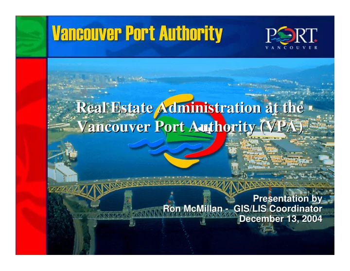
Vancouver Port Authority Vancouver Port Authority
Presentation by Presentation by Ron McMillan Ron McMillan -
- GIS/LIS Coordinator
GIS/LIS Coordinator December 13, 2004 December 13, 2004
Vancouver Port Authority Vancouver Port Authority Real Estate - - PowerPoint PPT Presentation
Vancouver Port Authority Vancouver Port Authority Real Estate Administration at the Real Estate Administration at the Vancouver Port Authority (VPA) Vancouver Port Authority (VPA) Presentation by Presentation by Ron McMillan - - GIS/LIS
Presentation by Presentation by Ron McMillan Ron McMillan -
GIS/LIS Coordinator December 13, 2004 December 13, 2004
VPA Navigational and Proprietary Jurisdictions
VPA parcels and LTO registered parcels
AutoDesk Examples
AutoDesk Examples
AutoDesk Examples
AutoDesk Examples
Unoccupied Land Areas
Strategic planning for future growth - Map
Strategic planning for future growth - Report
PILT Map for Delta
Maps on Request
Maps on Request – Query’s
Maps on Request – Query selection of an agreement
Maps on Request – Review LID parcel and relevant utilities
PORTfolio – Parcel Viewer
PORTfolio – Parcel Viewer – Various tabs containing LID information
PORTfolio – Map Viewer
PORTfolio – Parcel Viewer