Utilizing Plant Utilizing Plant Available Water Available Water - - PowerPoint PPT Presentation
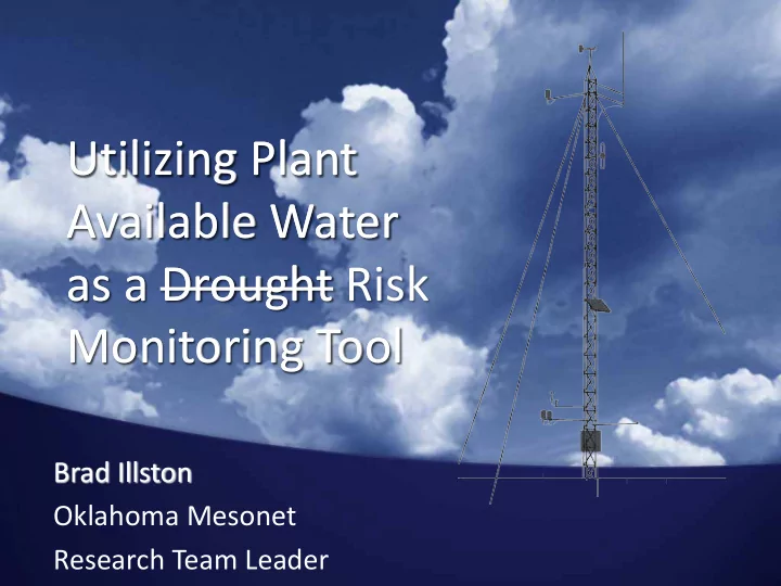
Utilizing Plant Utilizing Plant Available Water Available Water as a Drought as a Drought Risk Monitoring Tool Monitoring Tool Brad Illston Oklahoma Mesonet Research Team Leader Background Weather and climate network covering the
Background
- Weather and climate network covering the
State of Oklahoma-- Planned 1986-1991. The idea was conceived following disastrous Tulsa flood of 1984. Similar ideas were blossoming in Stillwater for an agricultural network.
- Commissioned in 1994
- Atmospheric measurements with 5-minute
resolution, available to users within 5 minutes
- f collection
- Subsurface temperature and moisture
measurements at various depths
- Over 5 billion observations archived
Technical Details
- 120 remote weather stations
- 3300 sensors and 250 computers
linked
- About 700,000 observations
ingested each day
- 2-way communications
- Solar powered
- 30-day storage in on-site
dataloggers
- Produce ~63,000 products and
files for users each day
Soil Moisture Instrument
- Campbell Scientific 229-L Matric Potential sensor
- Measures matric potential
- Estimates Volumetric Water
Content
- Depths of 5cm, 10cm*, 25cm, and 60cm
Plant Available Water
- Amount of water in the soil available to the
plants.
- Difference in calculated water content
between and water content at wilting point (-1500 kPa).
- Column weighted.
- 10cm (4”), 40cm (16”), and 80cm (32”)
Plant Available Water
10cm 30cm 40cm 40cm 80cm
- 5cm
- 25cm
- 60cm
= (WC05 – WP05) * 10 + (WC25 – WP25) * 30 + (WC60 – WP60) * 40 PAW40 PAW10 PAW80 WC = Calculated Water Content WP = Water Content at Wilting Point
Plant Available Water
Percent Plant Available Water
- Amount of water in the soil available to the
plants.
- Difference in PAW between field capacity and
wilting point.
- Column weighted.
Percent Plant Available Water
Soil Conditions
- Assists in describing soil conditions.
Runoff Infiltration
Depth Comparison
- Allows analysis of location and vertical span of
the moisture content.
Planning
- Allows agriculture users to understand
conditions before planting.
Risk Management Tool
- Combining PAW and CPC Rainfall Probability
provides a risk management tool.
Drought Monitor Comparison
- Can provide daily updates of drought
conditions.
Drought Monitor Comparison
- Can provide daily updates of drought