
SLIDE 1
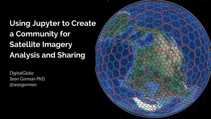
Using Jupyter to Create a Community for Satellite Imagery Analysis and Sharing
DigitalGlobe Sean Gorman PhD. @seangorman
Using Jupyter to Create a Community for Satellite Imagery Analysis - - PowerPoint PPT Presentation
Using Jupyter to Create a Community for Satellite Imagery Analysis and Sharing DigitalGlobe Sean Gorman PhD. @seangorman Version 0.1 Our Jupyter Journey Version 1.0 What are we going to cover? 1. Our problem 3. Accessibility 5. Scaling 6.
Using Jupyter to Create a Community for Satellite Imagery Analysis and Sharing
DigitalGlobe Sean Gorman PhD. @seangorman
Version 0.1
Version 1.0
What are we going to cover?
DigitalGlobe collects 3,000,000 km2 a day and has a 17 petabyte archive of imagery
Why Jupyter
○ Don’t reinvent the wheel ○ Go to where the users are
Problem | Jupyter | Accessibility | UI/UX | Scaling | Community
Extending Jupyter
Problem | Jupyter | Accessibility | UI/UX | Scaling | Community
Satellite Imagery is Big and Awkward
Problem | Jupyter | Accessibility | UI/UX | Scaling | Community
Customizing Juypyter for Domain Specific Use
Problem | Jupyter | Accessibility | UI/UX | Scaling | Community
Customizing Jupyter
Organizing Jupyter
Building Community with Notebooks
Problem | Jupyter | Accessibility | UI/UX | Scaling | Community
Ikonos, Sentinel2, Landsat, and Event Data
DigitalGlobe Sean Gorman PhD. @seangorman