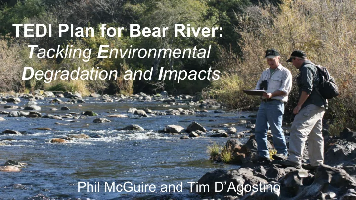
TEDI Plan for Bear River: T ackling E nvironmental D egradation and I - - PowerPoint PPT Presentation
TEDI Plan for Bear River: T ackling E nvironmental D egradation and I mpacts Phil McGuire and Tim DAgostino Overview Mission Statement Watershed Characteristics Land Use Water Use History Environmental
Overview
- Mission Statement
- Watershed Characteristics
- Land Use
- Water Use
- History
- Environmental Problems
- Existing Organizations
- Problems and Solutions
- Recommendations
Mission Statement
The T.E.D.I. Plan for Bear River seeks to restore fishable and swimmable water quality in the Bear River Watershed by 2045.
Watershed Characteristics
- Part of the American River Subregion of the
Sacramento River Watershed
- Comprised of 4 counties (Placer, Sutter,
Nevada, and Yuba)
- Origin: Sierra Nevada Mountain Range
(Elevation 5,000 ft)
- Terminus: Feather River (Elevation ~ 100 ft)
- Area: 220,000 acres
- Annual Precipitation: 25-45 inches
Land Use
- Composition: 990 miles of streams,
creeks, and rivers
- Development: 2,000 miles of roads
within the watershed (45% of streams are within 100 m of a public road)
- Urban, Forest, and Cropland are
major land designations
Water Use
- Mining - canals and sluice boxes
- Agricultural growth in 1800s and 1900s
increased irrigation needs
- Dams built to encourage farming
- In the late 1880s and early 1900s,
hydroelectric dams were built
- In 2011, the Nevada Irrigation District
proposed a dam for city drinking water
- In 2014, a new dam proposal was
introduced
History
- First settled ~3,000 BC by Nisenan Native American tribe
- Region discovered in the 1800s
- Settlement accelerated with the California Gold Rush
- Gold mine construction contributed to sediment runoff and mercury
contamination
- Agriculture later increased irrigation needs in the 1800s and 1900s
- During the same period, several hydroelectric dams were constructed
Environmental Problems
- I. Fishery Destruction
- II. Water Quality Contamination
- III. Reduced Water Flow
- I. Fishery Destruction
- Salmon and Steelhead populations
- No self-sustaining salmon runs exist
- Restoration of fishery benefits
○ Return of predatory species ○ Economic boost/tourism ○ Funding for additional management
- II. Water Quality Contamination
- Mercury and bacteria
- Biomagnification
- Safety monitoring
- Benefits of improved water quality
○ Swimmable/fishable goal ○ Tourism
- III. Reduced Water Flow
- Greater population demands more water
- Dam/Reservoir construction
- Less for downstream communities/habitats
- Benefits of increased flow
○ Reduced water stress ○ Protection of river for future generations
Problems and Solutions
Problem Number (P) Goal Number (G) Solution Number (S) P1: Fishery Destruction G1.1: Mitigate Effects of Dams G1.2: Minimize Methylmercury Contamination S1.1.1: Fishways/Ladders/Elevators S1.1.2: Halt Dam Construction S1.2.1: Limit Eutrophication S1.2.2: Monitor Contamination P2: Water Quality G2.1: Mercury Remediation G2.2: Healthy Vegetative Cover S2.1.1: Thermal Desorption S2.1.2: Phytoextraction S2.2.1: Riparian Buffers S2.2.2: Controlled Burns P3: Reduced Water Flow G3.1: Reduce Water Consumption G3.2: Increase Groundwater Storage S3.1.1: Public Education S3.1.2: County Ordinances S3.2.1: Reduce Impervious Cover S3.2.2: Employ Aquifer Storage
Existing Programs and Organizations
- CABY
- SRWP
- Sierra Watch
- Sierra Water Workgroup
- Placer Land Trust
- Bear Yuba Land Trust
Conclusions and Recommendations
- Implementation of T.E.D.I. Plan for
Bear River Watershed
- Establishment of an overseeing
committee
- Grassroots outreach and collaboration
with political leaders
- Monitoring of progress