
SLIDE 1
Working to Enhance + Protect 72 Miles of Lake Tahoe’s Shoreline
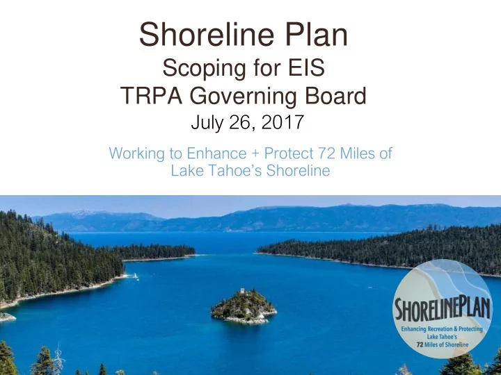
Shoreline Plan Scoping for EIS TRPA Governing Board July 26, 2017 - - PowerPoint PPT Presentation
Shoreline Plan Scoping for EIS TRPA Governing Board July 26, 2017 Working to Enhance + Protect 72 Miles of Lake Tahoes Shoreline EIS Scoping 30 Day Public Review- July 12-August 16 Feedback on scope and content of EIS Scoping -
Working to Enhance + Protect 72 Miles of Lake Tahoe’s Shoreline
Stakeholder Agencies and Organizations NV + CA State Clearinghouse Interested Public Media
Developing CONSENSUS Recommendations
Policy Makers Shoreline Steering Committee Community Workshop Series
Joint Fact Finding Committee Staff
Enhance the recreational experience along Lake Tahoe’s shores while protecting the environment and responsibly planning for the future.
Use best available science Cap development potential Go slow Incentivize environmental improvements Avoid or mitigate impacts Allow scenic banking Adaptive Resource Management
Sand Harbor Boat Ramp
Promote Environmental Improvements Focus Capacity
Flow improvements, reducing AIS habitat Contribute to AIS controls lakewide Cleaner rental fleets Install electric charging stations for boats Boater education Scenic improvements Boat ramps for public use Access for fueling and pump-out stations Install stormwater BMPs beyond required Additional scenic improvement Provide non-motorized boat storage for public
Provide sufficient new public piers Provide opportunity for private piers (including single- use) Incentivize multiple-use through permit prioritization + design standards Protect shoreline through quadrant + scenic sensitivity distribution
Cap total buoys on Lake Permitted buoys to remain Distribute new buoys among user types Limit new moorings (2 per littoral parcel)
Maintain 600’ No Wake Zone + all
Education on boater safety + no wake zone Coordinate shared enforcement - TRPA & States Remove unpermitted buoys Allow for Essential Public Health & Safety Facilities
Provide appropriate infrastructure Maintain No Wake Zone Education on boater safety Water Trail Program Limit pier length
Specific design standards for predictability, consistency and fairness Reduce complexity; provide greater certainty MOUs with States to clarify requirements and streamline permitting
“Heart” of the EIS