
SLIDE 1
March 2011 Master of Science in Geological & Mining Eng & Sciences
Plio-Quaternary kinematics and geometry of the Calama-Olacapato-El - - PowerPoint PPT Presentation
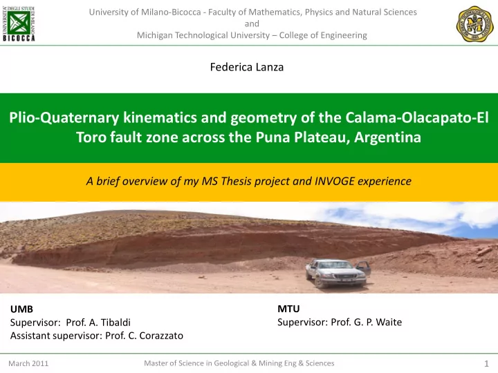
University of Milano-Bicocca - Faculty of Mathematics, Physics and Natural Sciences and Michigan Technological University College of Engineering Federica Lanza Plio-Quaternary kinematics and geometry of the Calama-Olacapato-El Toro fault
March 2011 Master of Science in Geological & Mining Eng & Sciences
March 2011 Master of Science in Geological & Mining Eng & Sciences
San Antonio De Los Cobres
Structural stations Fault
March 2011 Master of Science in Geological & Mining Eng & Sciences
March 2011 Master of Science in Geological & Mining Eng & Sciences
March 2011 Master of Science in Geological & Mining Eng & Sciences
March 2011 Master of Science in Geological & Mining Eng & Sciences
March 2011 Master of Science in Geological & Mining Eng & Sciences
March 2011 Master of Science in Geological & Mining Eng & Sciences
March 2011 Master of Science in Geological & Mining Eng & Sciences
N=12
MP= 66.67%
N=6
MP= 83.33%
N=9
MP= 44.44%
N=7
MP= 71.43%
N=6
MP= 50%
MP= 100%
N=3
MP= 50%
N=6
MP= 100%
N=5
MP= 60%
N=5 N=8
MP= 50% MP= 100%
N=3
MP= 60%
N=5
MP= 57.14 %
N=7 N=7
MP= 42.86 %
N=23
MP= 52.17 %
N=19
MP= 47.37 %
N=6
MP= 83.33%
March 2011 Master of Science in Geological & Mining Eng & Sciences 4 5 7 6 22 10 11 19 98 107 108 60 21 28 30 82-104-105- 106 E W Direction of compression Direction of extension
March 2011 Master of Science in Geological & Mining Eng & Sciences
March 2011 Master of Science in Geological & Mining Eng & Sciences
March 2011 Master of Science in Geological & Mining Eng & Sciences
March 2011 Master of Science in Geological & Mining Eng & Sciences
March 2011 Master of Science in Geological & Mining Eng & Sciences