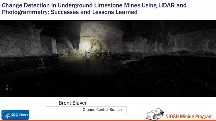

Change Detection in Underground Limestone Mines Using LiDAR and Photogrammetry: Successes and Lessons Learned Brent Slaker Ground Control Branch NIOSH Mining Program
Underground mining case studies for ground stability using LiDAR and Photogrammetry Stationary LiDAR Mobile LiDAR Close-Range Photogrammetry 2
Which method should be used for which application? It’s very difficult to generalize because the methods are changing constantly and • every application has different requirements. • In our experience the most important thing is to… Kno now w your r accur curacy cy and preci cisi sion on requi quirement ments s and size ze of the e job In underground mining, stationary methods will be poorly suited for • measurement sites >1-2 km long. Mobile methods will be poorly suited for detecting movements <1-2 cm. Many people report the theoretical precision of the instrument instead of the accuracy of the final product. Stationary LiDAR (how we Mobile LiDAR actually performed this): (hypothetical alternative): 20 minutes 4 hours 3
Pleasant Gap Mine – Stationary LiDAR 4
Pleasant Gap Mine – Stationary LiDAR used for ground movement detection Warm colors = Rock disappearing Cool colors = Rock moving into the opening 5
What to make of the apparent widespread and random movement? Point nt densi sity and distance ce to target get – Not only will precision • of the measurement tend to degrade with distance, but the resolution of the subject will decrease. When performing time-lapse analyses on surfaces, two coarsely reconstructed surfaces will show a lot of false movement. Scan Source Actual Rock Surface Reconstructed Rock Surfaces 6
Subtropolis Mine – Mobile LiDAR and Photogrammetry 7
It’s important to understand precision requirements and the size of the job • Error – If performing a job that spans a large continuous distance, registration error (how well scans are stitched together) and surveying drift (compounding error as you get further away from a known point) can be far more important than Points at Time 1 instrument precision. Minimize scan length or have a plan to account for this error. Points at Time 2 Points at Time 3 Error source examples: Movement is higher than expected error, so it will be noticed, but quantifying the magnitude Surveying Drift = 1 cm/100 m will be difficult because the movement is still a Registration Error = 1 cm small distance relative to the error Instrument accuracy at 100 m = 5 mm Point movement will not be noticed because it falls within the expected error of the data 1.5 cm 2.5 cm 100 m 8
LiDAR for Monitoring Mine Roof Movement Analysis performed on two wo scans: areas of higher roof elevation (red) indicate falls between scans Analysis performed on one scan: areas of higher roof elevation (red) indicate damage before scan occurred 9
Photogrammetry for Monitoring Floor Movement Reconstruction using ~30 photographs Note how some areas are missing due to poor photograph overlap or water 10
Photogrammetry for Monitoring Floor Movement Displacement (in) -0.8 -0.2 0 -1.0 -0.6 -0.4 0.2 0.4 0.6 0.8 1.0 Crack N Heave 11
Early detection of ground movement is Injury/Fatality Damage Remediation beneficial, but not straightforward Area is abandoned Increasing Supplemental Failure support (bolting, mesh, shotcrete, cribs, etc.) Design change Cost of the problem Where you observe a Movement exceeds potential problem error in instrument Ground Monitoring starts Displacement Time 12
Final Considerations • Vegeta getati tion – Growth or change in vegetation will appear as movement of the surface. • Who can spot the hill underneath my overgrown backyard? • Weather er – Fog, dust, water, etc. can interfere with picture quality or laser reflection. • Don’t trust your data; triple check everything. 13
Questions? NIOSH Mining Program Brent Slaker – bslaker@cdc.gov www.cdc.gov/niosh/mining Disclaimer: The findings and conclusions in this report are those of the author(s) and do not necessarily represent the official position of the National Institute for Occupational Safety and Health, Centers for Disease Control and Prevention. Mention of any company or product does not constitute endorsement by NIOSH, CDC.
Recommend
More recommend