
SLIDE 1
NAVLINK IOS APP
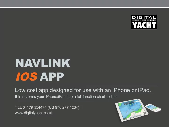
Low cost app designed for use with an iPhone or iPad.
It transforms your iPhone/iPad into a full function chart plotter TEL 01179 554474 (US 978 277 1234) www.digitalyacht.co.uk
NavLink iOS app NavLink is a low cost app designed for use with an - - PowerPoint PPT Presentation
NAVLINK IOS APP Low cost app designed for use with an iPhone or iPad. It transforms your iPhone/iPad into a full function chart plotter TEL 01179 554474 (US 978 277 1234) www.digitalyacht.co.uk NavLink iOS app NavLink is a low cost app
Low cost app designed for use with an iPhone or iPad.
It transforms your iPhone/iPad into a full function chart plotter TEL 01179 554474 (US 978 277 1234) www.digitalyacht.co.uk
NavLink is a low cost app designed for use with an iPhone or iPad. It transforms your iPad into a full function chart plotter with detailed electronic charts and an overlay of your boat's position, track and heading. It's purchased through the Apple app store and includes detailed Admiralty UKHO charts covering the whole of the UK & Eire. Additional USA (S57 NOAA), French, Benelux, German and Danish charts can be added via an In-App Purchase. The NOAA S57 charts cover the whole of the US.
function
displays
depths, wrecks, traffic zones, anchorages
camera display for easy real time viewing and location
measurement
Basic Charting Displays
Tape the eye icon to switch augmented reality view Tap IPC to display wind data Search for a port, place, etc. Create and manage routes waypoints and point of interests Tap to lock the center of the map to your current location Use the ruler to measure Settings of the app Tap this to start navigating the currently vising route or free sail without a route set
As you use the app it will automatically download and store the charts for the area you are viewing. It can take a bit of time to download and draw new charts the first time you use the app, especially on an HD display.
After having clicked on settings, click here to download charts and the Pro Features option (AR view and Live AIS)
Chart layers allow the user to select the data required allowing a custom view of any chart. You can have as much or as little information as required plus customise depth contours to your needs
Click here to get an A-B chart ruler for quick and easy bearing and distance measurement
Sailing
Tap this to start
your position will show
icon with heading and speed vectors Distance an bearing to the next waypoint Speed over ground, Vector made good and estimated time of arrival Course over ground
After having clicked on IPC, you can see the wind data. Windsensor data can be sent to the NavLink app with a NMEA to Wi-Fi adaptor such as our WLN10, WLN20, NavLink NMEA2000
Use the camera to scan the horizon. You'll get an overlay
targets, POIS and waypoints which serves as a great visualisation aid Your course is the yellow line and the blue line is your next waypoint Tap on a ship or buoy to get more information and tap on the right arrow to get even more including speed, course, etc.
Routing functions
Simple touch screen interface to add and manage your routes, points of interest and waypoints
Tap and hold to add waypoints for your route
Easily show and manage your routes and you can import them
You can sail without a route set. If needed just tap and hold on a map and click on sail to here to add a waypoint
Exploring
A long press will reveal a crosshair and a pop up
Tide and weather information requires an internet
information for any areas as iCalendar events.
After having added a point of interest (POI), tap here to choose the type of point of interest you
manage them.
From the manage POIs option, click here to see your POI or to edit it When you edit a POI, you can add info, picture and also share the market with your friends
AIS Target Displays (Requires connection to AIS or internet)
Easy colour coded AIS targets
Choose which AIS targets are displayed. Turn Class A/B targets on/off Tap on an AIS target to see the boat’s information
Decide on the CPA and TCPA limits you require Dangerous AIS targets highlighted in red for easy identification Connect to an AIS transponder if it has a built-in Wi-Fi or if it’s connected to an NMEA to Wi-Fi adaptor
Click on an AIS target and get detailed static and dynamic data for the target including name, mmsi, position, course and speed information as well as CPA and TCPA If you’ve purchased the Pro Features, then you can receive the AIS targets from internet
Advanced Features
You can change all the NavLink settings by going into the advanced settings
Decide on the CPA and TCPA limits you require Dangerous AIS targets highlighted in red for easy identification You can receive all the boat’s data by connecting the app to an NMEA to WiFi adaptor such as WLN10, WLN20, Navlink NMEA2000
in Wi-Fi
If you need help or have questions with the app, go to settings / Help, FAQ & Demo and choose the User Guide or the FAQ
Digital Yacht Europe TEL +44 1179 554474 Digital Yacht America TEL 978 277 1234 You can download the application here: http://itunes.apple.com/gb/app/navlink-nautical-charts-and-marine- navigation/id1183848518?mt=8
www.digitalyacht.co.uk Email sales@digitalyacht.co.uk