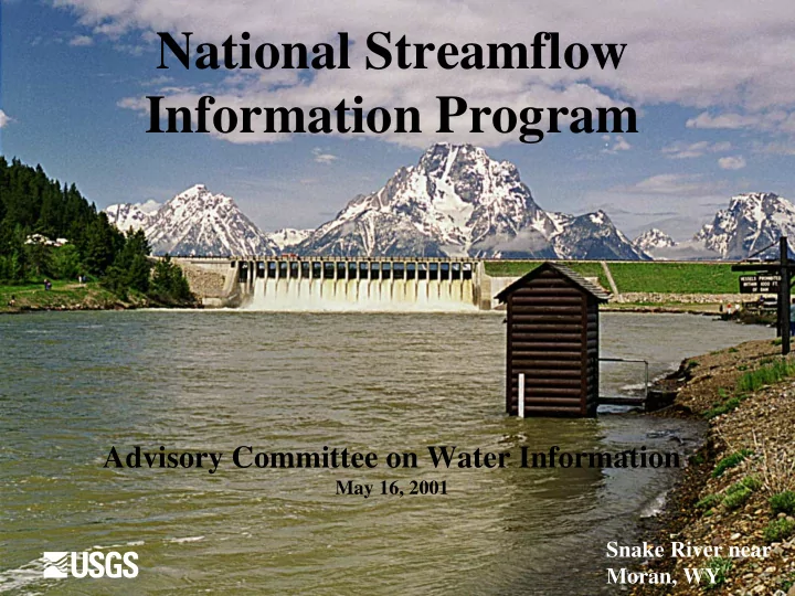
SLIDE 1 National Streamflow Information Program
Advisory Committee on Water Information
May 16, 2001
Snake River near Moran, WY
SLIDE 2 Network Funding Process
- Coop. funding with over 800 partners.
– Generates interest in the network. – Keeps network relevant to local needs. – Generates funds for the network.
- Less control by USGS over network.
– Loss of long-term gaging stations – Less ability to meet national goals.
SLIDE 3 Fiscal Year 2000 Funding Sources for USGS Streamgaging Program
USGS Federal Program $7M USGS-Federal Match Cooperative Program $27M State and Local Agencies $39M Other Federal Agencies $26M
TOTAL $99 Million
SLIDE 4
SLIDE 5 Number of Inactive Long-Record Streamgages
500 1000 1500 2000 2500 1920 1930 1940 1950 1960 1970 1980 1990 2000 YEARS INACTIVE STATIONS WITH 30 OR MORE YEARS OF RECORD
SLIDE 6
National Streamflow Information Program
SLIDE 7 Federal Interests Evaluated
- Interstate and international transfers
- Water budgets
- Flooding
- Water quality
- Long-term changes
SLIDE 8 10 20 30 40 50 60 70 80 90 100
1921 1926 1931 1936 1941 1946 1951 1956 1961 1966 1971 1976 1981 1986 1991 1996
Flooding
Goal: Provide flow information for populations at risk from flooding
FAIL PASS Metric: NWS service locations supported by gages
SLIDE 9 What are the Issues?
- Network’s ability to meet long-standing
Federal goals has declined because of:
– an absolute loss of streamgages – and our declining ability to continue operating high-priority streamgages when partners discontinue funding
- New issues and new technology have
increased the demand for streamflow information.
SLIDE 10 What are the Issues? (2)
- New technologies are needed to:
– Improve reliability – Decrease costs – Decrease uncertainty
SLIDE 11 National Streamflow Information Program
- 1. Enhanced nationwide streamgaging network
- 2. Intensive data collection during major floods and
droughts
- 3. Periodic regional and national assessments
- 4. Streamflow information delivery to customers
- 5. Methods development and research
SLIDE 12 #1 Streamgaging Network
- USGS-funded streamgages to meet 5 basic
federal goals
- Partnership-funded streamgages to achieve
more complete coverage than the USGS- funded streamgages provide
- Shared costs by USGS, State, and local
agencies and other Federal agencies
- Full support for network infrastructure from
Federal funds – (40% savings)
SLIDE 13 #2 Floods and Droughts
- Temporary streamgages
- Characterize the event: Precipitation, Stage,
Discharge, Sediment, Water Quality, Ground Water
- Document changes in channels and riparian
zones
SLIDE 14 # 3 Regional & National Assessments
- Regional studies for low-flow and flood
statistics: updated every decade to include new data and changing conditions
- National studies of streamflow trends:
related to climate and land-use factors
SLIDE 15 #4 Information Delivery
- Improve reliability through “mirror” servers
- Complete geospatial framework for rivers
(NHD) and watersheds (hydrologic units)
- “Point and click” streamflow characteristics
- Make data available at time resolution of
actual data collection (e.g. 15-minute)
SLIDE 16 #5 Research & Development
- Non-contact streamflow measurement
- Improve use of acoustic methods
- Improve methods for characterizing
uncertainty
- Make streamflow calculation process more
effective: more use of models and graphics
SLIDE 17 Five Federal Goals To Be Met By USGS-Funded Streamgages
- Interstate and International Waters
- Streamflow Forecasts
- River Basin Outflows
- Sentinel Watersheds
- Water Quality
SLIDE 18
Goal 1 – Support National Water Quality Networks
Streamflow data make water quality data more useful.
Operate a streamgage at or near each site in USGS water-quality monitoring networks: Hydrologic Benchmark, NASQAN, and NAWQA Low-Intensity Phase.
SLIDE 19 Goal 2 -- Streamflow Information for Borders and Compacts
Information on streamflow crossing State and International borders is used for interstate and international water management and
- adjudications. Treaties and compacts establish
measuring points for water distribution and allocation. Operate a streamgage on the reach mandated in all compacts and decrees, and at State and International boundaries on all rivers with drainage areas greater than 500 sq. mi.
SLIDE 20 Goal 3 -- Quantify Flow From Major River Basins
Outflows from the 335 major river basins are important to understanding water yield and flux to the ocean, estuaries, and Great Lakes.
Operate a streamgage near the mouth of each
- f the Nation’s hydrologic accounting units.
Use two streamgages if no one streamgage covers more than 50 percent of the unit.
SLIDE 21
Goal 4 -- Sentinel Watersheds Gaged to Estimate Regional Streamflow Characteristics
Streamgages with long-term record, unaffected by regulation or diversion, are needed to estimate regional flow statistics and trends.
Operate at least one streamgage in each of the 828 unique ecological/hydrological areas of the Nation.The watershed for that streamgage should be entirely within the unique ecological/hydrologic area.
SLIDE 22
Goal 5 -- Support Streamflow Forecasting
Streamflow data are needed to develop and calibrate forecasting models and make flow forecasts for flooding and water supply.
Operate a streamgage at or near each National Weather Service forecast site.
SLIDE 23
USGS Funded Streamgages
Preliminary Design: January 2001
SLIDE 24 National Streamflow Information Program USGS- Funded Streamgages
Active USGS Site Inactive USGS Site Other Agency Site New/Proposed Site
SLIDE 25 Progress Towards NSIP in FY2000 and FY2001
- 37 new streamgages;
- 73 reactivated streamgages;
- 127 streamgages with upgraded equipment;
- 15 flood-hardened streamgages;
- 40 streamgages with extended rating curves;
- ~ 100 existing streamgages with full USGS
funding.
SLIDE 26 401 420 522 4420 2326 2335 2315 500 1000 1500 2000 2500 3000 3500 4000 4500 1999 2000 2001 Future YEAR NUMBER OF STREAMGAGES Stations funded by partners Stations funded entirely by USGS 2727 2755 2837
Status of Streamgages Designated to be USGS funded
SLIDE 27 4.6 4.3 7.8 1.2 3.4 0.7 3.7
5 10 15 1999 2000 2001 YEAR EXPENDITURES $M
System Enhancements & Support New/Reactivated Station Station Operation & Maintenance
4.6 6.2 14.9
NSIP Funding
SLIDE 28 1.4 4.9 64 10 20 30 40 50 60 70 1999 2000 2001 Full NSIP Implementation Year $ Millions
Capital Cost Investments ($M)
NSIP Funding: Capital
SLIDE 29 4.6 4.8 10 78 10 20 30 40 50 60 70 80 90
1999 2000 2001 Full NSIP Implementation
Year $ Millions Annual Operations ($M/year)
NSIP Funding: Operations
SLIDE 30
Minnesota River near Jordan, MN, April 17, 2001