
SLIDE 1
Provisional Information
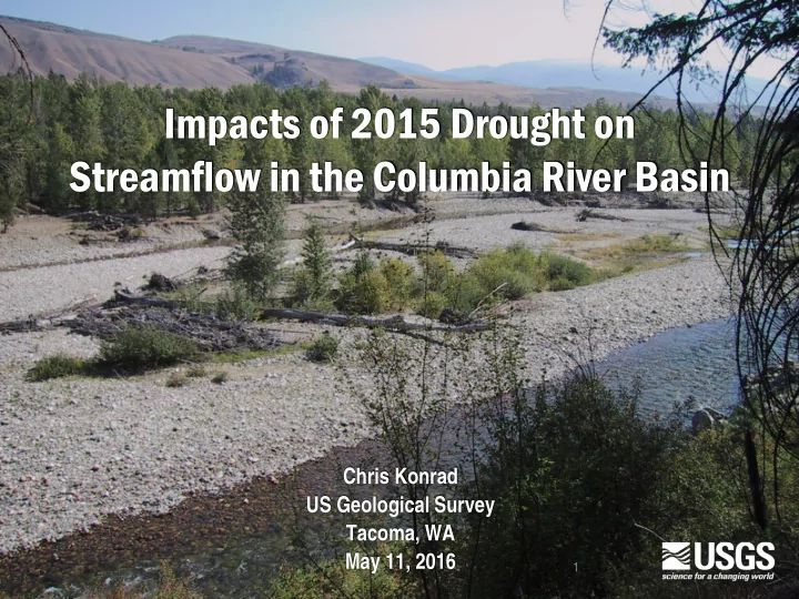
Impacts of 2015 Drought on Streamflow in the Columbia River Basin
Chris Konrad US Geological Survey Tacoma, WA May 11, 2016
1
Impacts of 2015 Drought on Streamflow in the Columbia River Basin - - PowerPoint PPT Presentation
Impacts of 2015 Drought on Streamflow in the Columbia River Basin Chris Konrad US Geological Survey Tacoma, WA May 11, 2016 1 Provisional Information Overview of USGS Investigation Western US had low snowpack, warm temperatures, and an
Provisional Information
1
Provisional Information
Provisional Information
3
Provisional Information
Provisional Information
Green shading indicates the number of gages in each 8-digit HUC, which ranges from 0 to 12.
Provisional Information
Interior, high elevation: snowmelt Interior, mid-elevation: snowmelt Median flow Westside with glacial influence: rain-snow transitional Westside, low-elevation: rain-snow transitional
Provisional Information
Provisional Information
Provisional Information
Blue –above normal low flow Yellow –below normal low flow Orange – >0.05 cfs/sq mile below normal
Provisional Information
Provisional Information
Difference between daily and minimum streamflow for 95th and 50th percentiles
0.0 0.5 1.0 1.5 2.0 cfs/sq mile Jul Aug Sep
2015 measurement window
Provisional Information
Provisional Information