
SLIDE 1
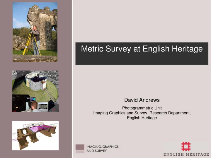
David Andrews
Photogrammetric Unit Imaging Graphics and Survey, Research Department, English Heritage
Metric Survey at English Heritage David Andrews Photogrammetric - - PowerPoint PPT Presentation
Metric Survey at English Heritage David Andrews Photogrammetric Unit Imaging Graphics and Survey, Research Department, English Heritage Introduction Introduction to the work of English Heritage Why do we survey? Metric survey
Photogrammetric Unit Imaging Graphics and Survey, Research Department, English Heritage
1906 2006
Recording carvings using low-cost photogrammetry
Building recording and conditions surveys provided by rectified photography montages
Recording the underground shafts and tunnels using 3D laser scanning
DIRECTOR OF RESEARCH & STANDARDS Edward Impey
ARCHAEOLOGICAL ADVISOR STRATEGY RESEARCH DEPARTMENT Chris Scull PROPERTIES PRESENTATION NATIONAL MONUMENTS RECORD CONSERVATION DEPARTMENT IMAGING, GRAPHICS & SURVEY (IGS)
Photogrammetric Unit
Chester Roman Amphitheatre
Bishop’s Rd Bridge, Paddington
Photogrammetric line drawings provide accurate record of former canal bridge at Paddington Station, built to a design by famous engineer Isambard Kingdom Brunel in 1838
Cawthorn Roman Camps, North Yorkshire, Northern England
Peterborough Cathedral, Cambridgeshire
Whitby Abbey, North Yorkshire
The new C21st ‘state of the art’ EH visitor centre
The C17th Banqueting House
Windsor Castle
New & archived photography, both from the Royal Household’s own collection and the National Monuments Record (NMR), used within post-fire restoration – as featured in Photogrammetric Record article October 1995
Greatstone Listening Devices, West Sussex, Southern England
Taken from 3-D virtual model for site created by photogrammetry and laser scanning
‘At its simplest, a conservation plan is a document which explains why a site is significant and how that significance will be retained in any future use, alteration, development or repair’ – Kate Clark, 2000
Chatterley Whitfield Colliery, Staffordshire Digital orthophotograph used as base map for Conservation Planning process
Whitby Abbey, North Yorkshire Photogrammetrically derived topographic survey and digital
base webGIS mapping for site
Silbury Hill, Wiltshire
Whitby Headland, North Yorkshire Fountains Abbey High Altar, North Yorkshire
Fountains Abbey - High Altar Digital photogrammetry used to provide accurate spatial record of 18th century tiled floor for both decay monitoring and conservation repair works
Lopen Roman Mosaics, Somerset Following excavation in 2001, Digital Photogrammetry used to provide the record of this remarkable find, dating back to 360AD. Currently reburied, to protect the fragile tesserae from further damage, whilst final decision is reached as to its long-term future
Witham Valley, Lincolnshire LiDAR data used to assist mapping of the historic
comparison with data recorded from traditional, aerial survey methodology
Whitby Abbey, North Yorkshire Assessing the threat of coastal recession using an integrated remote monitoring approach combining aerial and terrestrial laser scanning and traditional photographic/photogrammetric imagery
Greatstone Listening Devices, West Sussex Laser scanning used in combination with photogrammetry to provide baseline record for monitoring both the effectiveness of modern repairs and the structure’s condition over time
Grimes Graves, Norfolk Both terrestrial and close-range laser scanning used to provide accurate spatial record of the archaeological remains within Greenwell’s Pit. Also provided spatial information on the structural supports within the tunnels
Close-range laser scanning used to provide detailed, sub-mm accurate three dimensional record of this architectural
assist both on-going research, into designs
decay monitoring
Annunciation Panel, Fountains Abbey, N. Yorkshire World Heritage Site
Audley End, Cambridgeshire
Close-range laser scanning used to monitor cracks apparent in the ornate plaster ceiling, within Lord Braybrookes Reading Room. Laser scans repeated annually over three year period to provide quantitative assessment of perceived crack propagation