
SLIDE 1
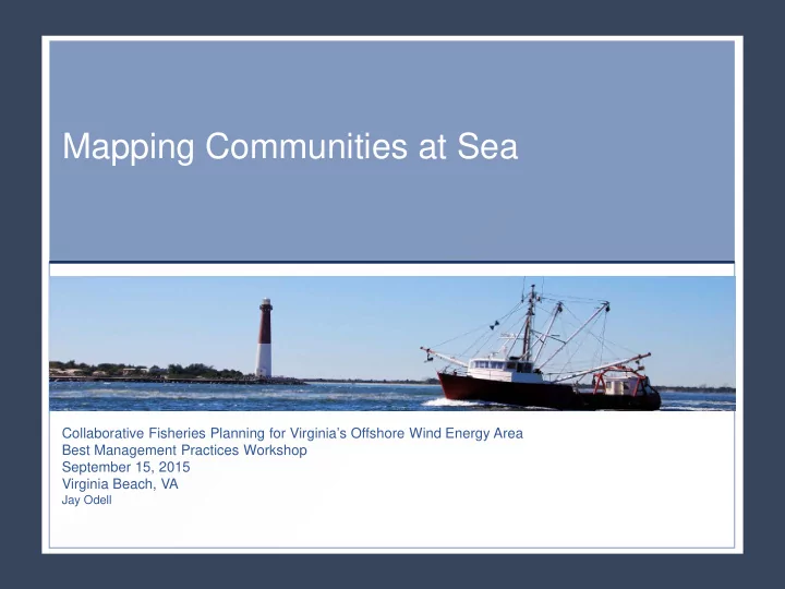
Mapping Communities at Sea
Collaborative Fisheries Planning for Virginia’s Offshore Wind Energy Area Best Management Practices Workshop September 15, 2015 Virginia Beach, VA
Jay Odell
Mapping Communities at Sea Collaborative Fisheries Planning for - - PowerPoint PPT Presentation
Mapping Communities at Sea Collaborative Fisheries Planning for Virginias Offshore Wind Energy Area Best Management Practices Workshop September 15, 2015 Virginia Beach, VA Jay Odell VTR Data Summary Communities at Sea Mapping Approach
Collaborative Fisheries Planning for Virginia’s Offshore Wind Energy Area Best Management Practices Workshop September 15, 2015 Virginia Beach, VA
Jay Odell